
Image: Staffordshire UK location map

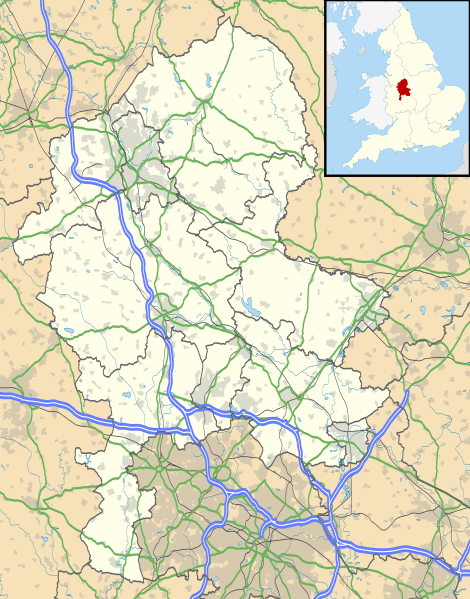
Description: Map of Staffordshire, UK with the following information shown: Administrative borders Coastline, lakes and rivers Roads and railways Urban areas Equirectangular map projection on WGS 84 datum, with N/S stretched 165% Geographic limits: West: 2.50W East: 1.40W North: 53.25N South: 52.40N
Title: Staffordshire UK location map
Credit: Ordnance Survey OpenData. Administrative borders and coastline data from Boundary-Line product. All other geographic data from Meridian 2 product. Inset derived from England location map.svg by Spischot.
Author: Nilfanion, created using Ordnance Survey data
Permission: This file is licensed under the Creative Commons Attribution-Share Alike 3.0 Unported license. Attribution: Contains Ordnance Survey data © Crown copyright and database right You are free: to share – to copy, distribute and transmit the work to remix – to adapt the work Under the following conditions: attribution – You must attribute the work in the manner specified by the author or licensor (but not in any way that suggests that they endorse you or your use of the work). share alike – If you alter, transform, or build upon this work, you may distribute the resulting work only under the same or similar license to this one. http://creativecommons.org/licenses/by-sa/3.0 CC BY-SA 3.0 Creative Commons Attribution-Share Alike 3.0 truetrue
Usage Terms: Creative Commons Attribution-Share Alike 3.0
License: CC BY-SA 3.0
License Link: http://creativecommons.org/licenses/by-sa/3.0
Attribution Required?: Yes
Image usage
The following 63 pages link to this image:
- Abbey Hulton
- Alton, Staffordshire
- Alton Castle
- Barlaston
- Berth Hill
- Biddulph
- Bignall Hill
- Black Ladies Priory
- Bratch
- Burntwood
- Burslem
- Burton upon Trent
- Bury Bank
- Calwich Abbey
- Cannock
- Catholme ceremonial complex
- Caverswall Castle
- Cheadle, Staffordshire
- Chesterton, Staffordshire
- Codsall
- College Road drill hall, Hanley
- Eccleshall
- Farewell Priory
- Fazeley
- Fradswell
- Friars' Walk drill hall, Stafford
- Greensforge
- Hartshill, Staffordshire
- Hednesford
- Hopwas
- Horninglow Street drill hall, Burton upon Trent
- Kidsgrove
- Lapley Priory
- Leek, Staffordshire
- Lichfield
- Lichfield Cathedral
- Longton, Staffordshire
- Mayfield, Staffordshire
- Meir, Staffordshire
- Middleport, Staffordshire
- Newcastle-under-Lyme
- Northwood, Stoke-on-Trent
- Norton Green, Stoke-on-Trent
- Penkridge
- Priory of St. Thomas near Stafford
- Pye Green BT Tower
- RAF Fauld explosion
- Rugeley
- Shelton, Staffordshire
- St Mary's Abbey, Colwich
- Stafford
- Stafford Castle
- Statfold
- Stoke-upon-Trent
- Stone, Staffordshire
- Tamworth
- The Old Barracks, Newcastle-under-Lyme
- Tunstall, Staffordshire
- Uttoxeter
- Weaver Hills
- Wheaton Aston
- Yoxall
- Template:Location map United Kingdom Staffordshire
