
Image: Stamford map
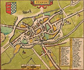
Size of this preview: 722 × 600 pixels. Other resolutions: 289 × 240 pixels | 1,892 × 1,571 pixels.
Original image (1,892 × 1,571 pixels, file size: 1.84 MB, MIME type: image/jpeg)
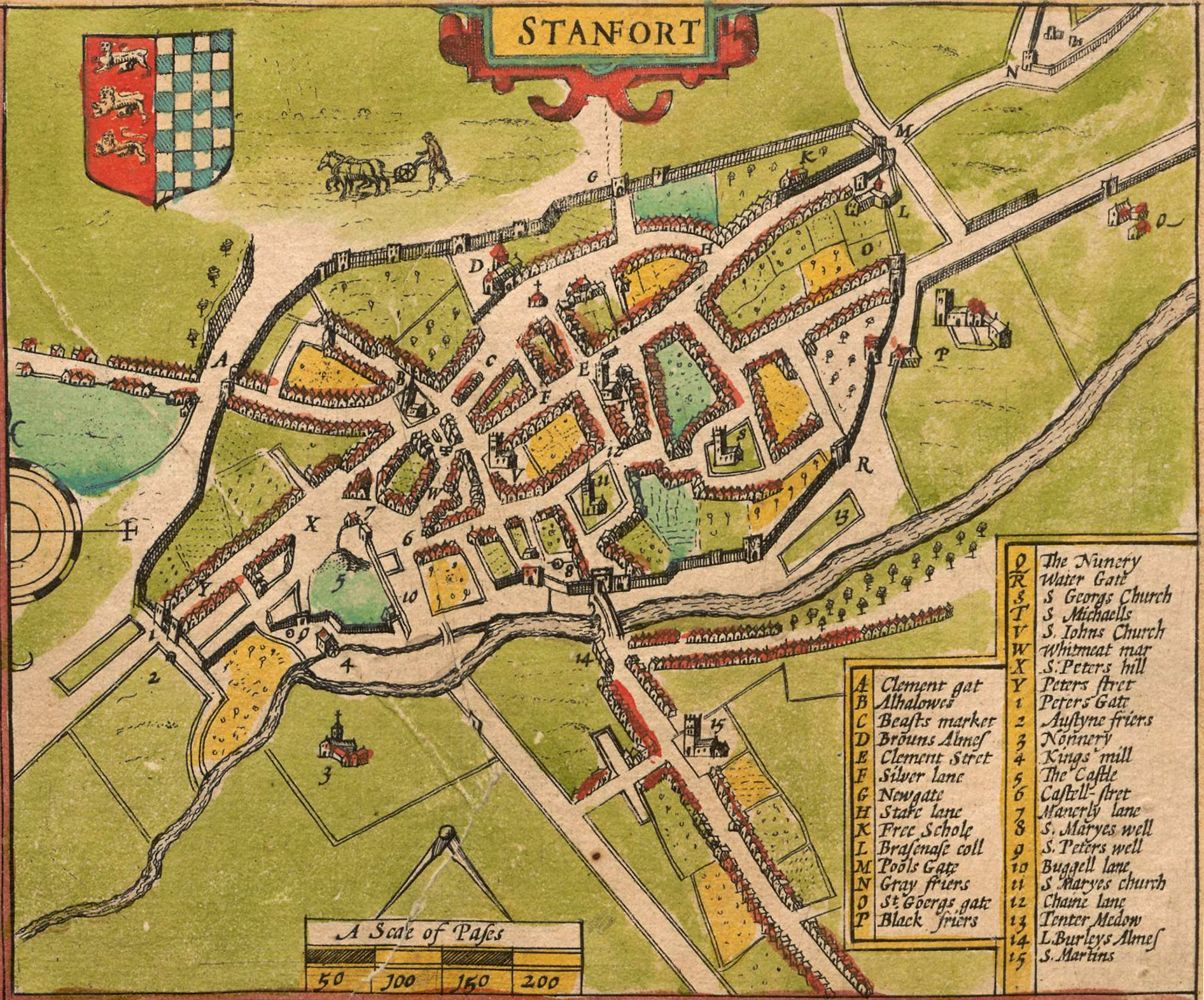
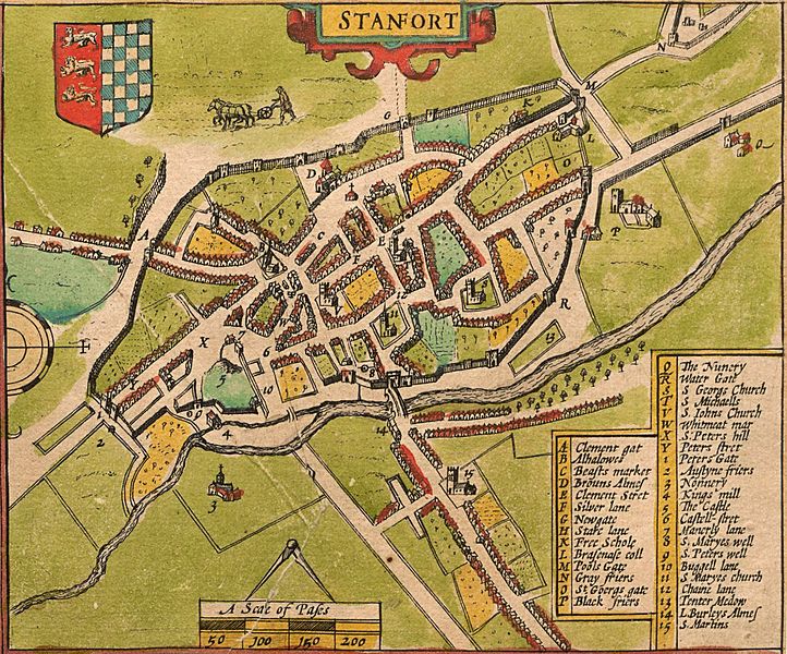
Description: Map of w:Stamford, Lincolnshire by w:John Speed, from a proof copy of his map of w:Rutland in The Theatre of the Empire of Great Britaine, 1611-12.
Title: Stamford map
Credit: https://cudl.lib.cam.ac.uk/view/PR-ATLAS-00002-00061-00001/52
Author: John Speed
Usage Terms: Public domain
License: Public domain
Attribution Required?: No
Image usage
The following page links to this image:

All content from Kiddle encyclopedia articles (including the article images and facts) can be freely used under Attribution-ShareAlike license, unless stated otherwise.