
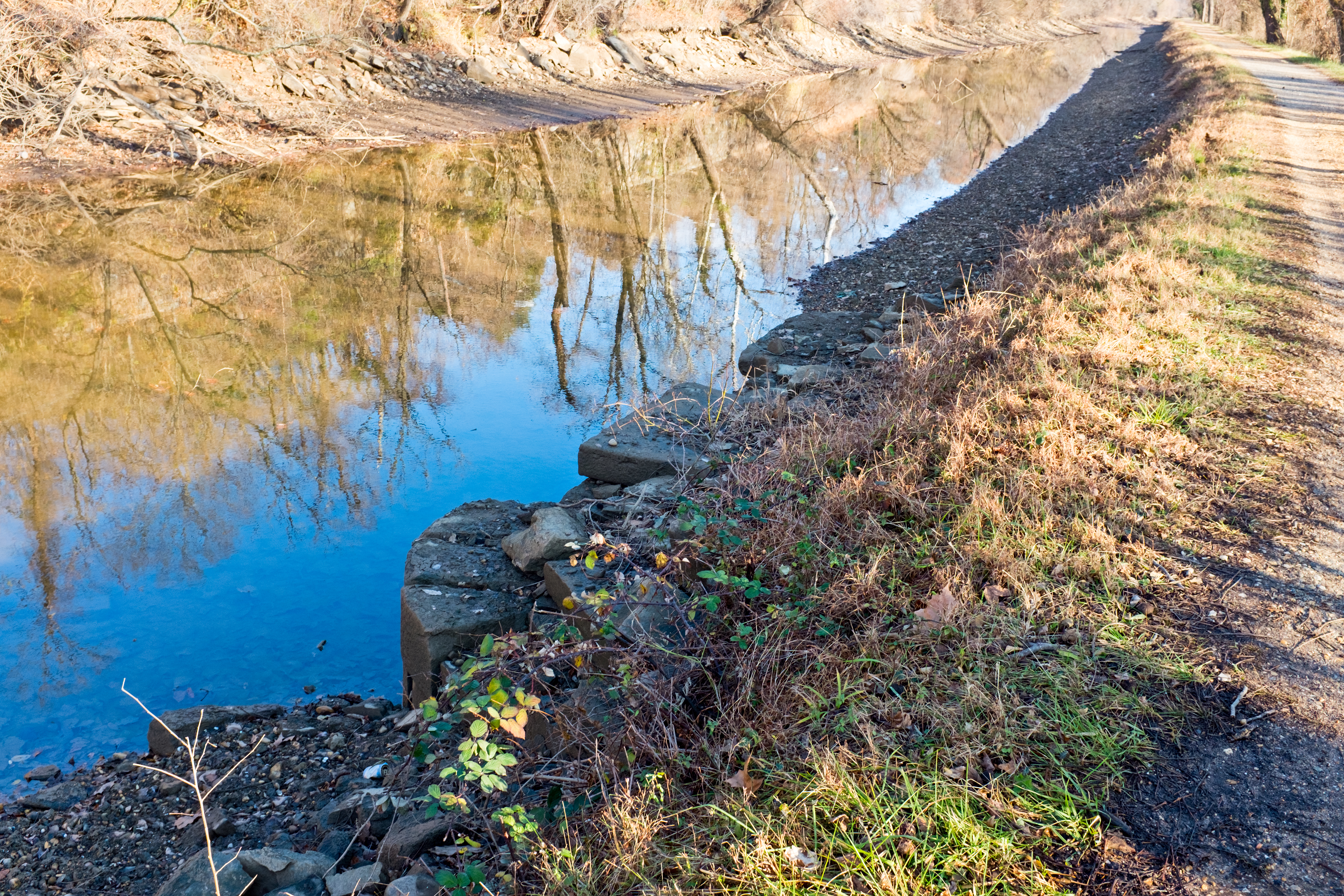
Image: Stop Gate at 2.18 miles remains looking downstream from towpath on C and O Canal
Size of this preview: 800 × 533 pixels. Other resolutions: 320 × 213 pixels | 4,896 × 3,264 pixels.
Original image (4,896 × 3,264 pixels, file size: 13.95 MB, MIME type: image/jpeg)
Description: Remains of an old Stop gate at 2.18 mile mark (See Hahn, Towpath guide, p. 19) just downstream of the inclined plane on the Chesapeake and Ohio Canal, on the 4 mile level of Georgetown. This is only visible when canal is drained. We are looking downstream towards Georgetown.
Title: Stop Gate at 2.18 miles remains looking downstream from towpath on C and O Canal
Credit: Own work
Author: Bonnachoven
Usage Terms: Creative Commons Zero, Public Domain Dedication
License: CC0
License Link: http://creativecommons.org/publicdomain/zero/1.0/deed.en
Attribution Required?: No
Image usage
The following page links to this image:

All content from Kiddle encyclopedia articles (including the article images and facts) can be freely used under Attribution-ShareAlike license, unless stated otherwise.