
Image: Strait of Dover map
Size of this preview: 798 × 599 pixels. Other resolutions: 320 × 240 pixels | 1,000 × 751 pixels.
Original image (1,000 × 751 pixels, file size: 187 KB, MIME type: image/png)
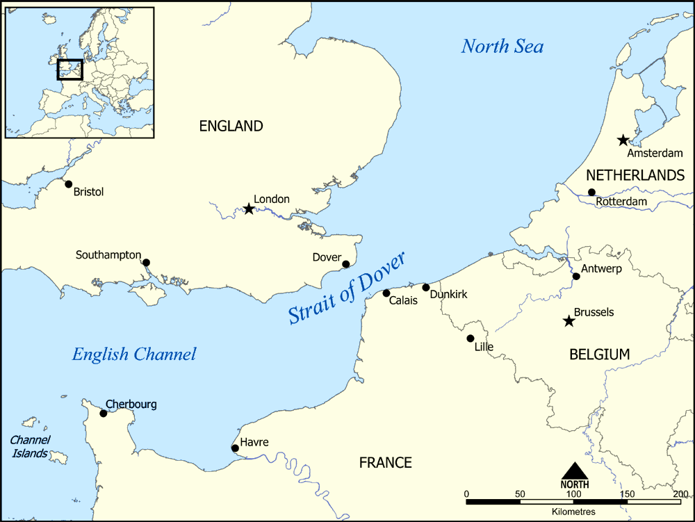
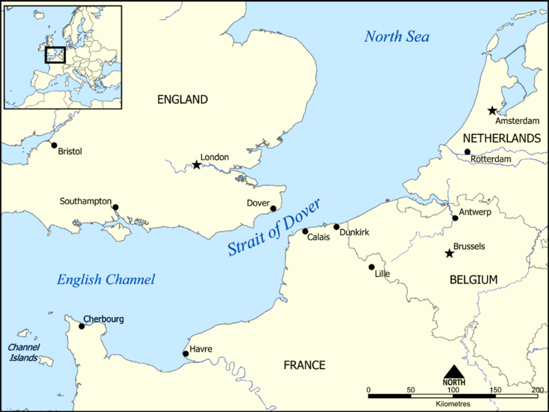
Description: This map shows the location of the Strait of Dover between England and France, and part of the English Channel and the North Sea. It also shows nearby towns such as Dover, Calais, and Dunkirk. Created by NormanEinstein, December 15, 2005.
Title: Strait of Dover map
Credit: No machine-readable source provided. Own work assumed (based on copyright claims).
Author: No machine-readable author provided. NormanEinstein assumed (based on copyright claims).
Usage Terms: Creative Commons Attribution-Share Alike 3.0
License: CC-BY-SA-3.0
License Link: http://creativecommons.org/licenses/by-sa/3.0/
Attribution Required?: Yes
Image usage
The following 5 pages link to this image:

All content from Kiddle encyclopedia articles (including the article images and facts) can be freely used under Attribution-ShareAlike license, unless stated otherwise.