
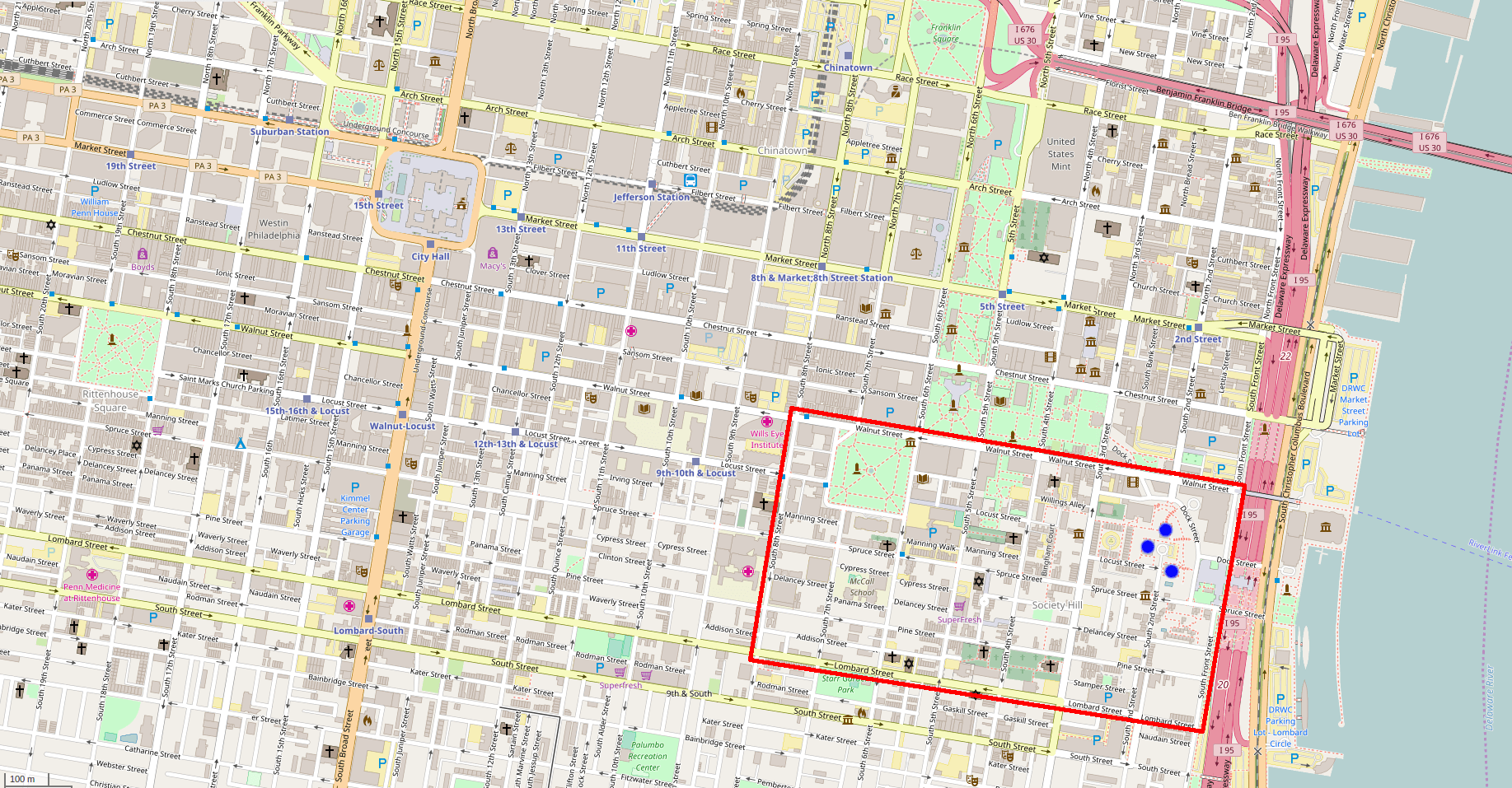
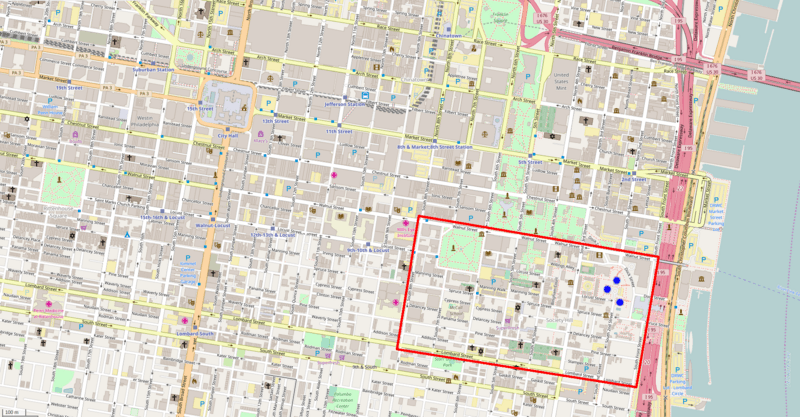
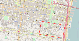
Image: Street map of central Philadelphia with the Society Hill neighborhood outlined in red
Description: Street map of central Philadelphia, Pennsylvania, United States with the Society Hill neighborhood outlined in red. This map is a modified copy of an OpenStreetMap with all bordering text cropped out, and red lines added along the boundary streets of Society Hill. The Society Hill Towers, in the northeastern quadrant of the neighborhood, are marked with blue dots.
Title: Street map of central Philadelphia with the Society Hill neighborhood outlined in red
Credit: OpenStreetMap
Author: OpenStreetMap contributors
Permission: The license requires that you use the credit “© OpenStreetMap contributors” - for more details see OpenStreetMap Copyright and License.
Usage Terms: Creative Commons Attribution-Share Alike 2.0
License: CC BY-SA 2.0
License Link: http://creativecommons.org/licenses/by-sa/2.0
Attribution Required?: Yes
Image usage
The following page links to this image:
