
Image: Struthers aerial
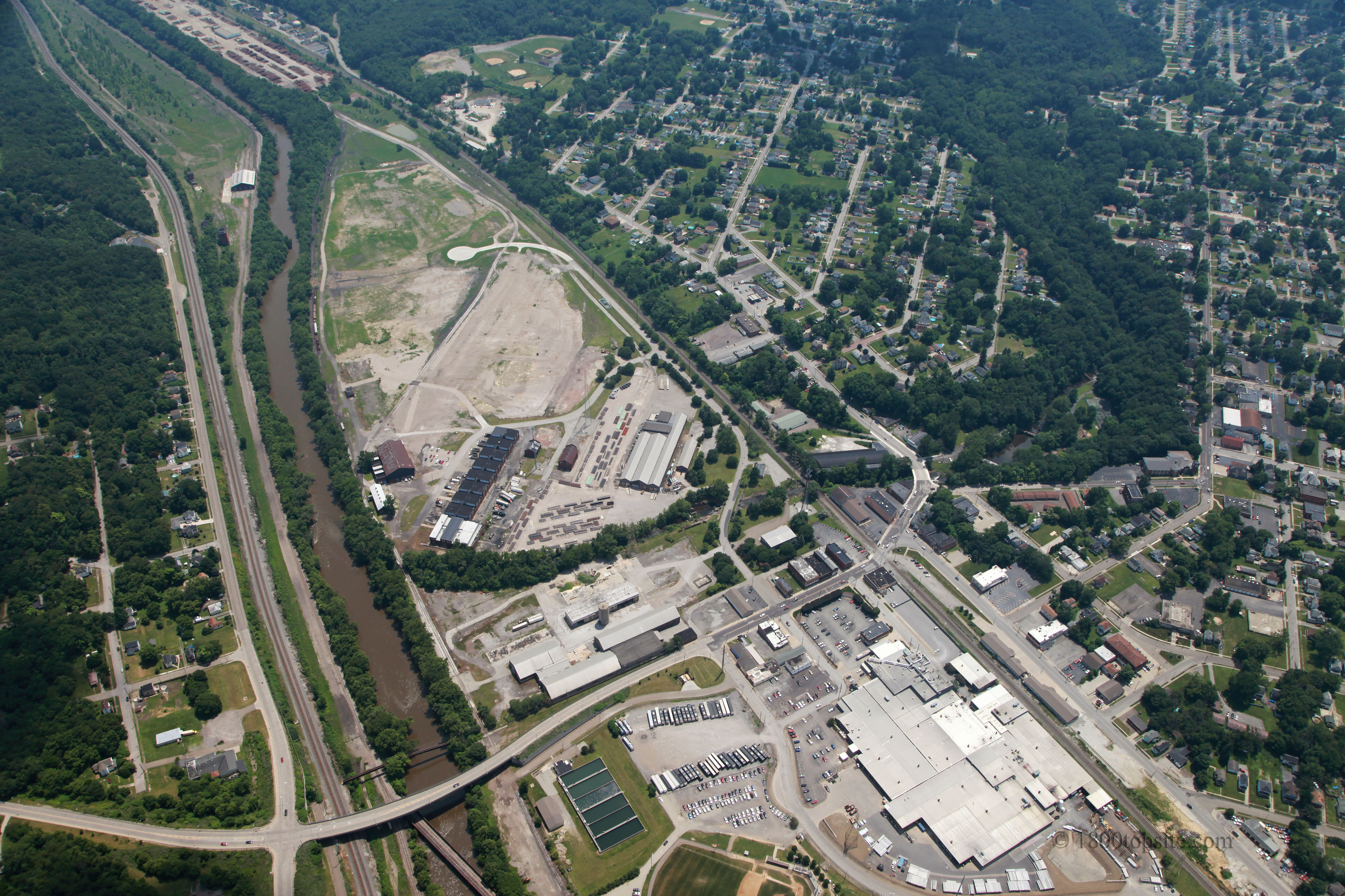
Description: Aerial view of northeastern Struthers, Ohio, United States. At bottom left is the Bridge Street bridge over the Mahoning River, while Wilson Avenue is visible at far left, and State Street/Lowellville Road runs from bottom right to top left. The focus of the image is the industrial complexes that cover most of the land at the center and bottom-center of the image.
Title: Struthers aerial
Credit: Flickr
Author: Ohio Redevelopment Projects - ODSA
Permission: This file is licensed under the Creative Commons Attribution 2.0 Generic license. You are free: to share – to copy, distribute and transmit the work to remix – to adapt the work Under the following conditions: attribution – You must attribute the work in the manner specified by the author or licensor (but not in any way that suggests that they endorse you or your use of the work). http://creativecommons.org/licenses/by/2.0 CC BY 2.0 Creative Commons Attribution 2.0 truetrue
Usage Terms: Creative Commons Attribution 2.0
License: CC BY 2.0
License Link: http://creativecommons.org/licenses/by/2.0
Attribution Required?: Yes
Image usage
The following page links to this image:
