
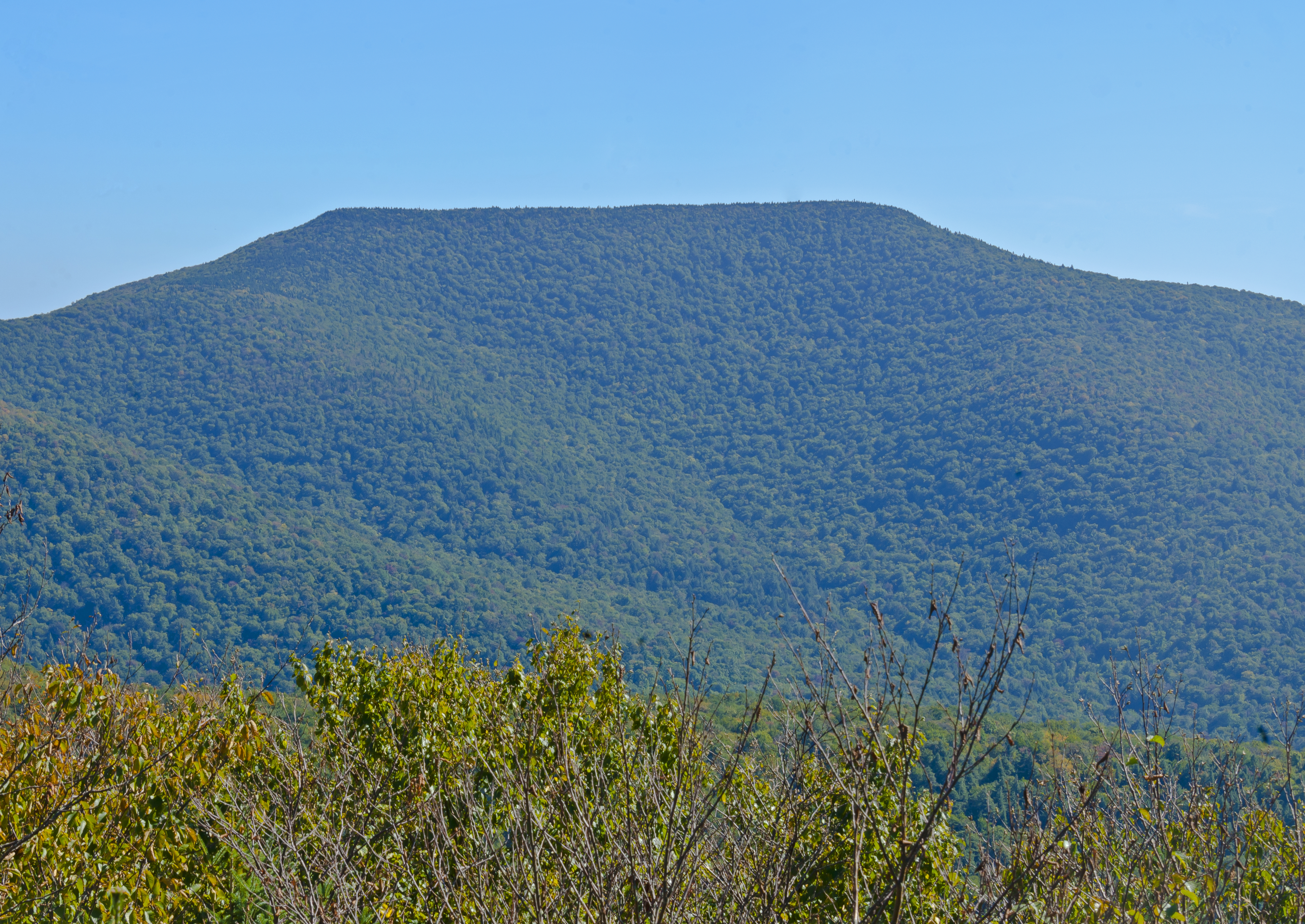
Image: Table Mountain from Curtis-Ormsbee Trail
Size of this preview: 800 × 566 pixels. Other resolutions: 320 × 227 pixels | 4,440 × 3,144 pixels.
Original image (4,440 × 3,144 pixels, file size: 11.09 MB, MIME type: image/jpeg)
Description: Table Mountain, the 10th highest peak in New York's Catskill Mountains at 3,847 ft (1,173 m) above sea level, as seen from the Curtis-Ormsbee Trail (part of the Long Path, which also traverses Table's summit) up neighboring Slide Mountain, the range's highest peak.
Title: Table Mountain from Curtis-Ormsbee Trail
Credit: Own work
Author: Daniel Case
Permission: You may select the license of your choice.
Usage Terms: Creative Commons Attribution-Share Alike 3.0
License: CC BY-SA 3.0
License Link: https://creativecommons.org/licenses/by-sa/3.0
Attribution Required?: Yes
Image usage
The following 2 pages link to this image:

All content from Kiddle encyclopedia articles (including the article images and facts) can be freely used under Attribution-ShareAlike license, unless stated otherwise.