
Image: Tashkent City districts

Size of this preview: 764 × 600 pixels. Other resolutions: 306 × 240 pixels | 1,280 × 1,005 pixels.
Original image (1,280 × 1,005 pixels, file size: 120 KB, MIME type: image/png)
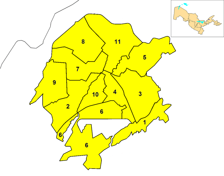
Description: Map of the districts (tuman) of the province (viloyat) of Tashkent City in Uzbekistan. A map of Uzbekistan, highlighting Tashkent (blue dot), is shown in the upper right corner.
Title: Tashkent City districts
Credit: Own work
Author: Rarelibra
Usage Terms: Public domain
License: Public domain
Attribution Required?: No
Image usage
There are no pages that link to this image.

All content from Kiddle encyclopedia articles (including the article images and facts) can be freely used under Attribution-ShareAlike license, unless stated otherwise.