
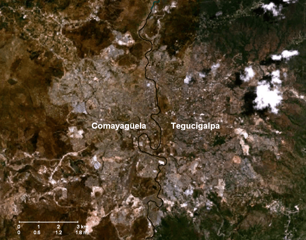
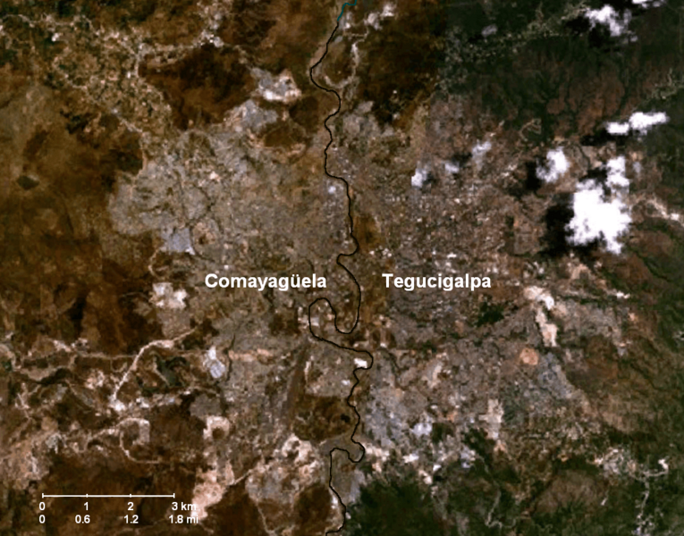
Image: Tegucigalpa-Comayaguela-Choluteca River
Size of this preview: 765 × 600 pixels. Other resolutions: 306 × 240 pixels | 1,006 × 789 pixels.
Original image (1,006 × 789 pixels, file size: 1.66 MB, MIME type: image/png)
Description: Satellite image showing the metropolitan area of Tegucigalpa—Comayagüela, the capital of Honduras — outlining the Choluteca River.
Title: Tegucigalpa-Comayaguela-Choluteca River
Credit: NASA World Wing satellite imaging program
Author: National Aeronautics & Space Administration (NASA), United States Geological Survey (USGS)
Usage Terms: Public domain
License: Public domain
Attribution Required?: No
Image usage
There are no pages that link to this image.

All content from Kiddle encyclopedia articles (including the article images and facts) can be freely used under Attribution-ShareAlike license, unless stated otherwise.