
Image: Tenerife LANDSAT-Canary Islands
Size of this preview: 800 × 600 pixels. Other resolutions: 320 × 240 pixels | 6,000 × 4,500 pixels.
Original image (6,000 × 4,500 pixels, file size: 21.28 MB, MIME type: image/png)
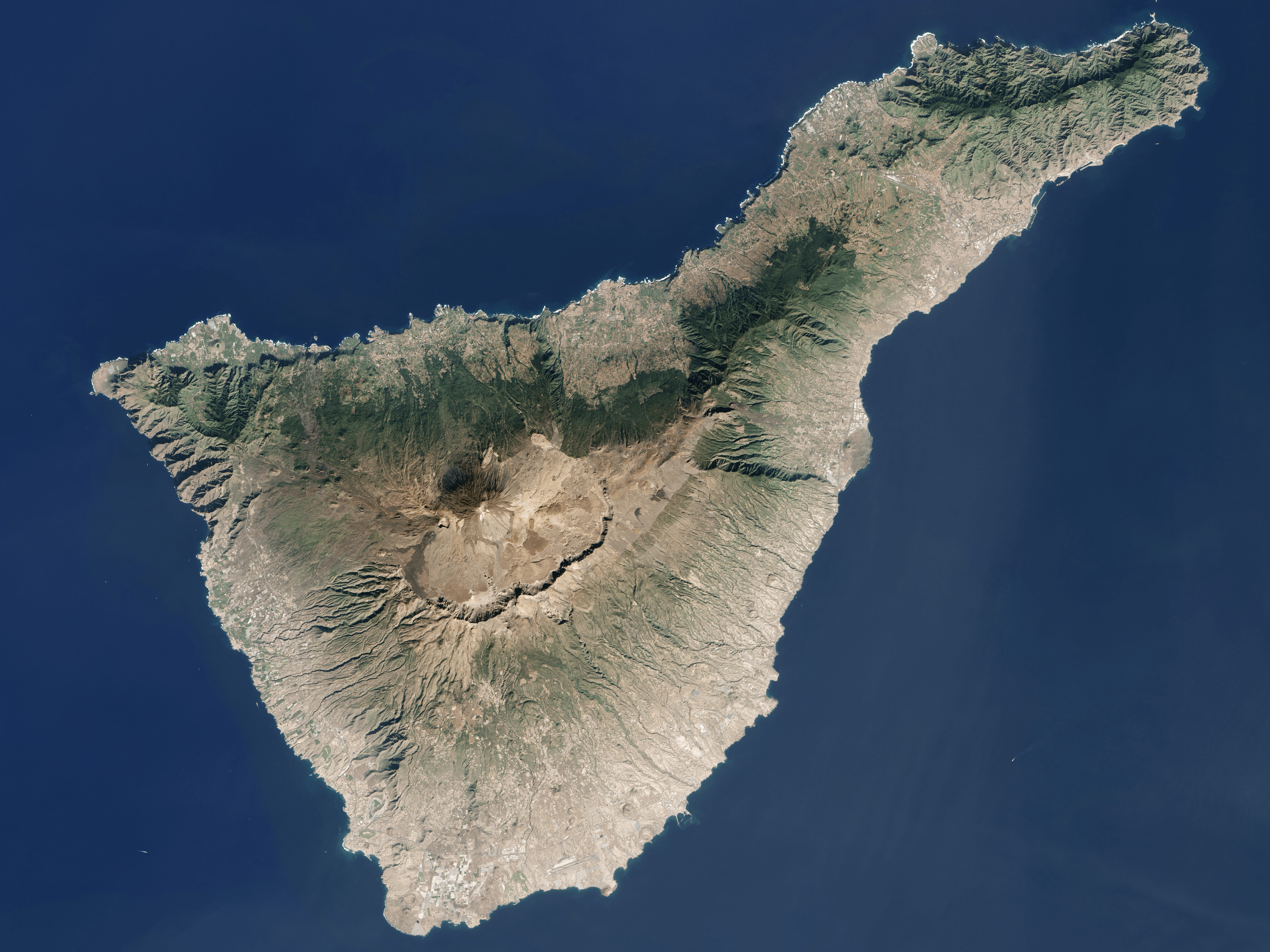
Description: Tenerife Island (Canary Islands, Spain) from LANDSAT7 satellite of NASA. Coordinates: -16.52792W 28.29799N
Title: Tenerife LANDSAT-Canary Islands
Credit: NASA's World Wind software (images provided by NASA)
Author: NASA
Usage Terms: Public domain
License: Public domain
Attribution Required?: No
Image usage
The following page links to this image:

All content from Kiddle encyclopedia articles (including the article images and facts) can be freely used under Attribution-ShareAlike license, unless stated otherwise.