
Image: The Thames Path, Hartslock Wood - geograph.org.uk - 427328
No higher resolution available.
The_Thames_Path,_Hartslock_Wood_-_geograph.org.uk_-_427328.jpg (640 × 480 pixels, file size: 204 KB, MIME type: image/jpeg)
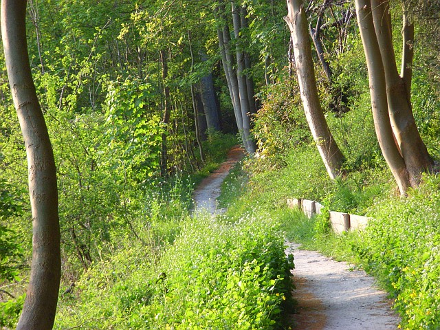
Description: The Thames Path in Hartslock Wood between Whitchurch and Goring. Heading northwards, the path has dropped down a level so it is only slightly elevated from the river, and is here in the civil parish of Goring on Thames.
Title: The Thames Path, Hartslock Wood - geograph.org.uk - 427328
Credit: From geograph.org.uk
Author: Andrew Smith
Usage Terms: Creative Commons Attribution-Share Alike 2.0
License: CC BY-SA 2.0
License Link: https://creativecommons.org/licenses/by-sa/2.0
Attribution Required?: Yes
Image usage
The following page links to this image:

All content from Kiddle encyclopedia articles (including the article images and facts) can be freely used under Attribution-ShareAlike license, unless stated otherwise.