
Image: Titan 2009-01 ISS polar maps
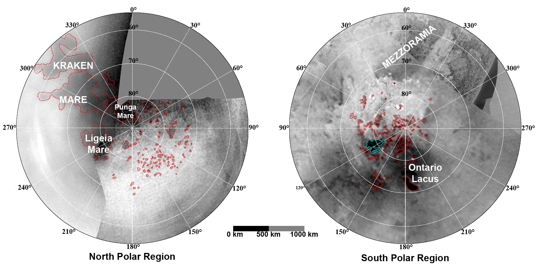
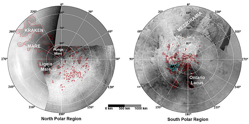
Description: These updated maps of Saturn’s moon Titan, consisting of data from the Cassini Imaging Science Subsystem, include Cassini's August 2008 images of the moon's north polar region. Evidence from Cassini's Imaging Science Subsystem, RADAR, and Visual and Infrared Mapping Spectrometer instruments strongly suggests that dark areas near the poles are lakes of liquid hydrocarbons -- an analysis affirmed by images capturing changes in the lakes thought to be brought on by rainfall. Colored lines in the polar portions of these maps illustrate the boundaries between surface regions having different albedos -- or differences in surface brightness -- which Cassini scientists have interpreted as potential shorelines. Blue outlines indicate features that changed between observations made one year apart (see PIA11147). The map at left is a north polar projection showing latitudes 55 degrees to 90 degrees. The right map is a south polar projection showing latitudes minus55 degrees to minus90 degrees. The maps are compiled from images dating from April 2004 through August 2008, and their resolutions vary from several hundred meters to a few tens of kilometers. Brightness variations are due to differences in surface albedo rather than topographic shading. The original NASA map of Titan has been cropped to show only the polar regions.
Title: Titan 2009-01 ISS polar maps
Credit: File:TitanMapJan2009.jpg, http://photojournal.jpl.nasa.gov/catalog/PIA11146
Author: NASA/JPL/Space Science Institute
Usage Terms: Public domain
License: Public domain
Attribution Required?: No
Image usage
There are no pages that link to this image.
