
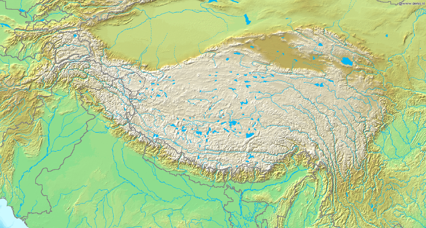
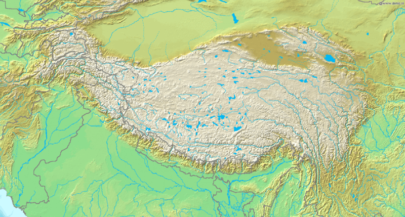
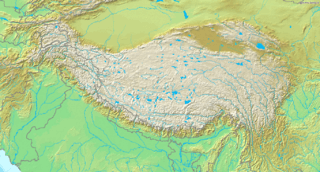
Image: Topografic map of Tibetan Plateau
Size of this preview: 800 × 429 pixels. Other resolutions: 320 × 172 pixels | 1,365 × 732 pixels.
Original image (1,365 × 732 pixels, file size: 663 KB, MIME type: image/png)
Description: Topografic map of the Tibetan Plateau in Asia. Bounding box West 66°, South 23°, East 108°, North 42°.
Title: Topografic map of Tibetan Plateau
Credit: http://www.demis.nl/home/pages/Gallery/examples.htm
Author: Unknown author
Permission: This image is in the public domain because it came from the site https://www.demis.nl/products/web-map-server/examples/ and was released by the copyright holder. Permission is granted to copy, distribute and/or modify this map since it is based on free of copyright images from: www.demis.nl. See also approval email on de.wp and its clarification.
Usage Terms: Public domain
License: Public domain
Attribution Required?: No
Image usage
The following 3 pages link to this image:

All content from Kiddle encyclopedia articles (including the article images and facts) can be freely used under Attribution-ShareAlike license, unless stated otherwise.