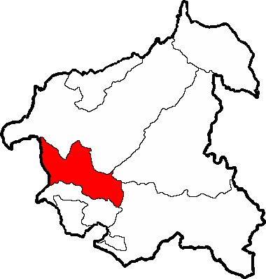
Image: Totonicapán - San Francisco El Alto
Description: San Francisco El Alto within Totonicapán
Title: Totonicapán - San Francisco El Alto
Credit: I based this map on one produced by the Instituto Nacional de Estadística of Guatemala. I eliminated all of the distinguishing features of the copyright-able material of the original map keeping only the location of the boundary lines and I recolored everything to meet my purpose. As the pure data in maps cannot be copyrighted, just the creative elements, this derivative map is not a violation of copyright.
Author: Vojen (talk) (Uploads)
Usage Terms: Creative Commons Zero, Public Domain Dedication
License: CC0
License Link: http://creativecommons.org/publicdomain/zero/1.0/deed.en
Attribution Required?: No
Image usage
The following page links to this image:


