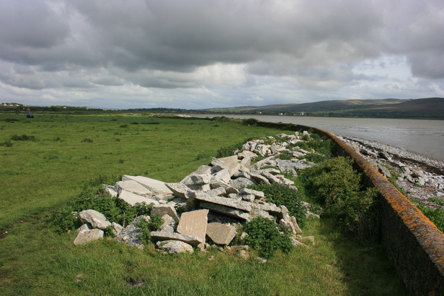
Image: Tralee Bay shoreline - geograph.org.uk - 1370124
Description: Tralee Bay shoreline This is near lohercannan on the North Kerry Way between Spa (to the west) and Blennerville (to the east). The path is in the field and follows the concrete wall which must act as a flood defence to stop the sea entering the damp grazing fields. The demolition rubble may be to reinforce the wall or perhaps is a convenient spot away from the farm buildings. The white buildings on the far shore are in Blennervile.
Title: Tralee Bay shoreline - geograph.org.uk - 1370124
Credit: From geograph.org.uk
Author: Adrian Platt
Usage Terms: Creative Commons Attribution-Share Alike 2.0
License: CC BY-SA 2.0
License Link: https://creativecommons.org/licenses/by-sa/2.0
Attribution Required?: Yes
Image usage
The following page links to this image:


