
Image: Tutankhamen map Valle Re Nilo space STS026-041-058
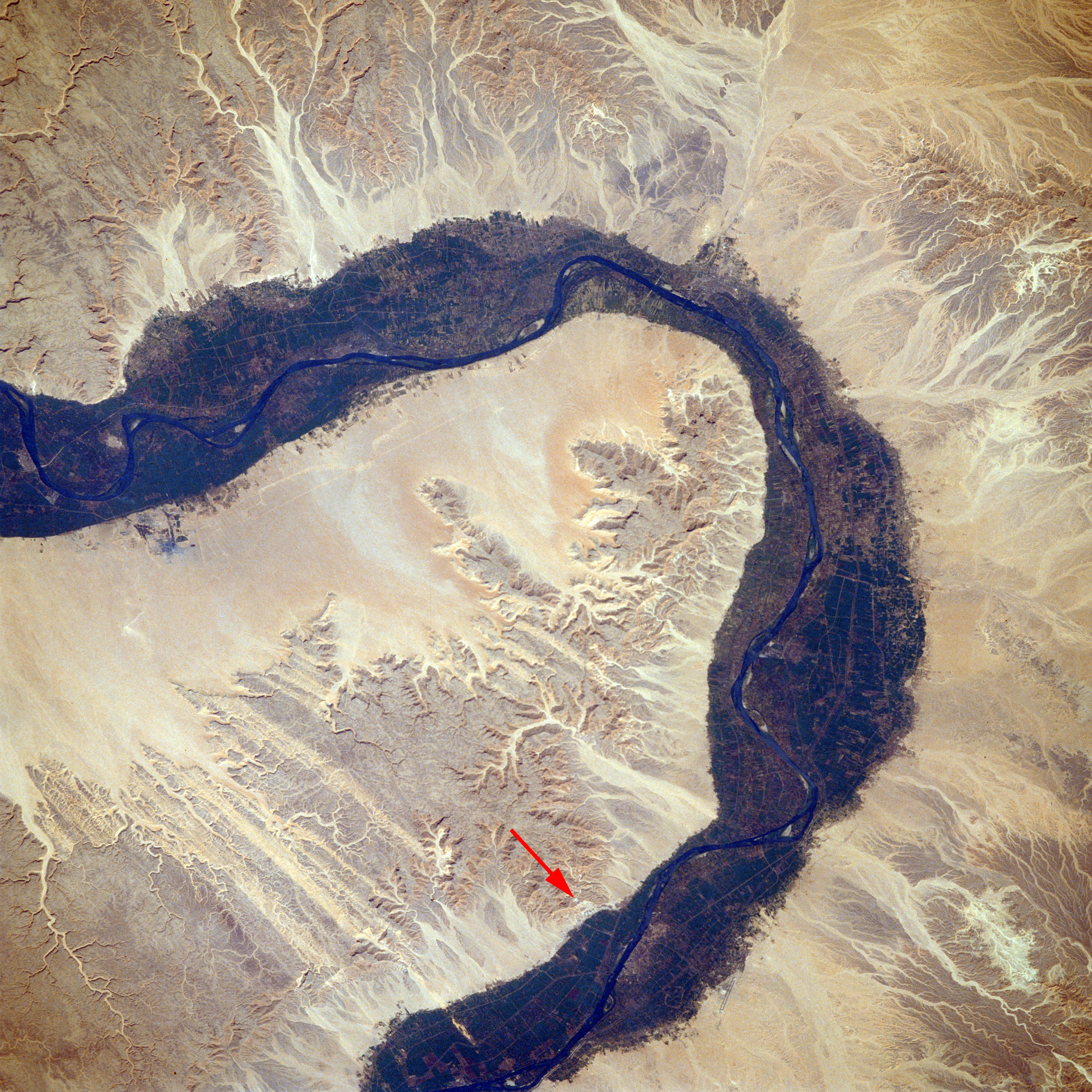
Description: Valley of the Kings, Southern Egypt October 1988 Arid landforms comprise much of this nearly vertical view of a portion of the Nile River. These desert landforms include eroded valleys and wadis (watercourses). The fertile and highly productive green Nile River Valley stands out in marked contrast to the tan desert landscape on either side. This part of the Nile Valley varies in width from 4 to 9 miles (6 to 14 kilometers). Near the southern edge of this photograph, the city of Luxor can be ascertained along the eastern bank of the Nile. The narrow, linear runways of the airport are visible on the edge of the desert east of the city. This particular bend in the Nile River is the home of many historical points of interest-Valley of the Kings, Valley of the Queens, Temple of Luxor, Tomb of Tutankhamen, and Necropolis of Thebes.
Title: Tutankhamen map Valle Re Nilo space STS026-041-058
Credit: EARTH FROM SPACE Valley of the King STS026-041-058
Author: NASA/Crew of STS-26
Usage Terms: Public domain
License: Public domain
Attribution Required?: No
Image usage
The following page links to this image:
