
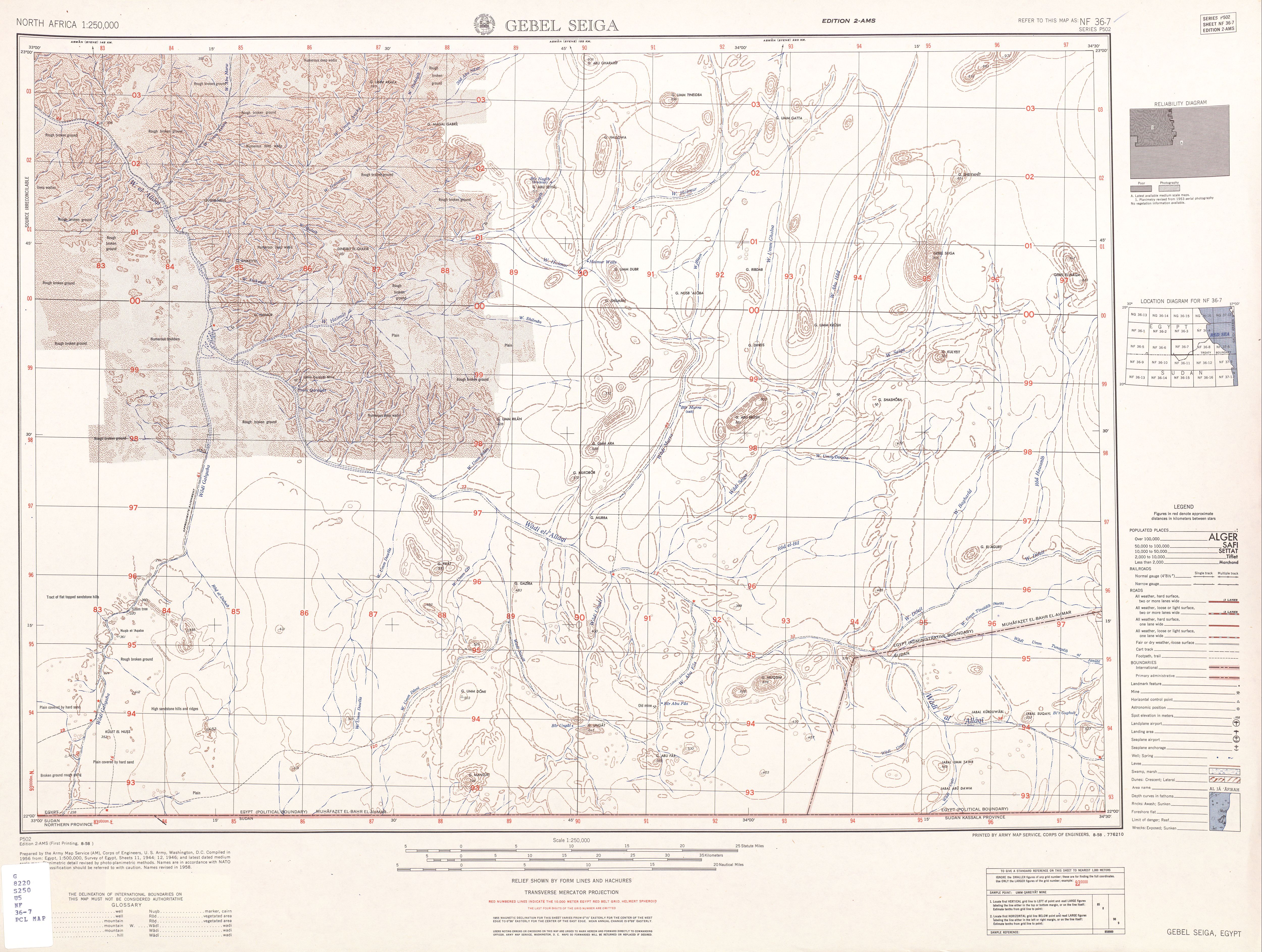
Image: Txu-oclc-6949452-nf36-7
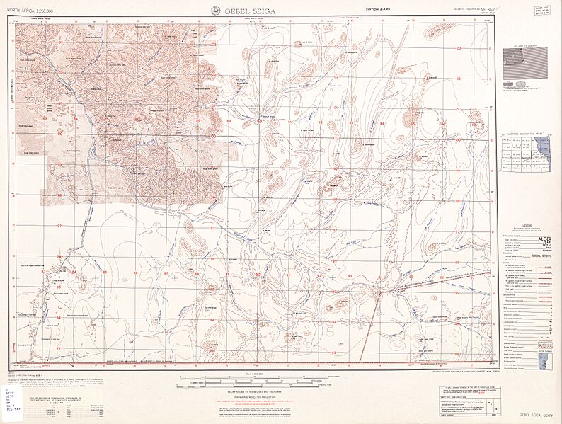
Size of this preview: 794 × 599 pixels. Other resolutions: 318 × 240 pixels | 5,000 × 3,774 pixels.
Original image (5,000 × 3,774 pixels, file size: 3.98 MB, MIME type: image/jpeg)
Description: map sheet of south east Egypt/north east Sudan, containing westernmost part of Halaib Triangle
Title: Txu-oclc-6949452-nf36-7
Credit: http://www.lib.utexas.edu/maps/ams/north_africa/txu-oclc-6949452-nf36-7.jpg
Author: Army Map Service
Usage Terms: Public domain
License: Public domain
Attribution Required?: No
Image usage
There are no pages that link to this image.

All content from Kiddle encyclopedia articles (including the article images and facts) can be freely used under Attribution-ShareAlike license, unless stated otherwise.