
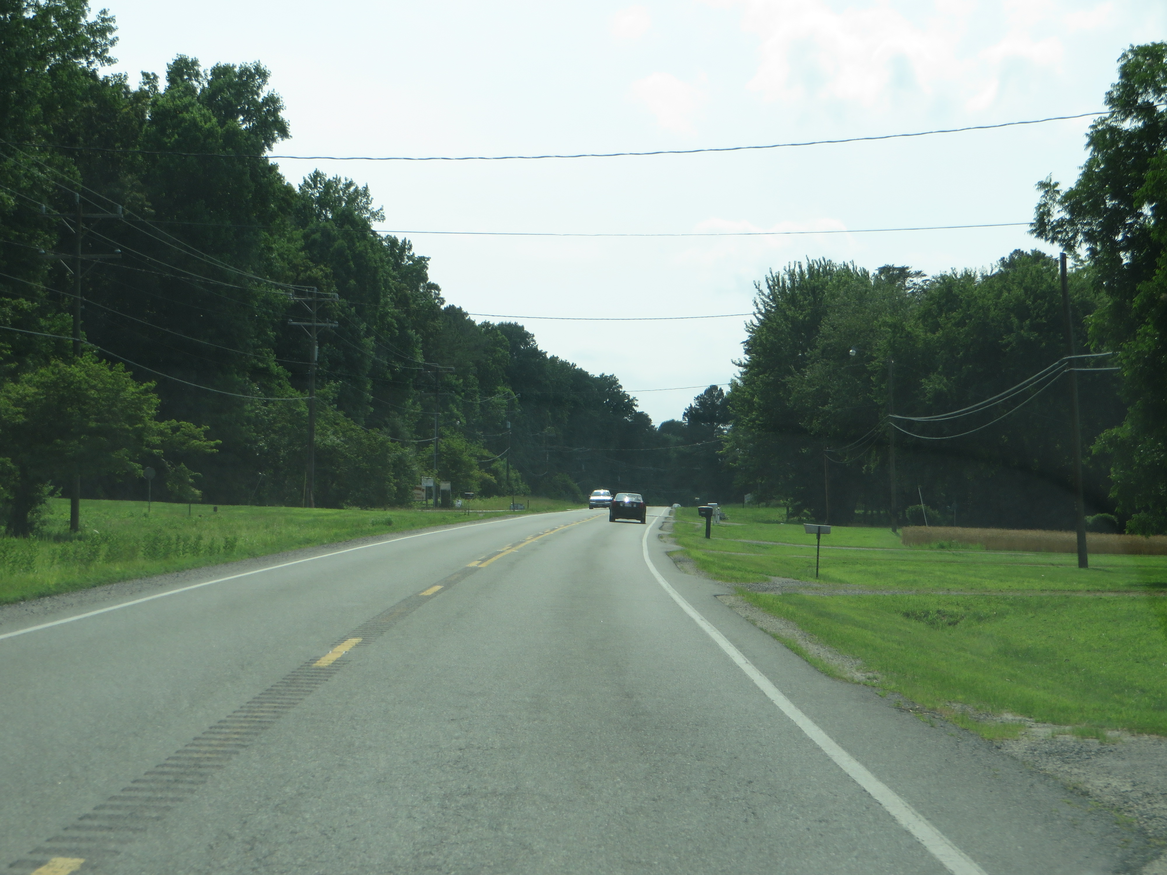
Image: U.S. Route 360, Claraville, Virginia (14299538778)
Description: U.S. Route 360 (US 360) is a spur of US 60 in the U.S. state of Virginia. The U.S. Highway runs 225.31 miles (362.60 km) from US 58 Business, Virginia State Route 293, and SR 360 in Danville east to SR 644 in Reedville. US 360 connects Danville, South Boston, and Keysville in Southside Virginia with the state capital of Richmond. The U.S. Highway also connects Richmond with Tappahannock on the Middle Peninsula and the eastern Northern Neck, where the highway serves as the primary route through Northumberland County. US 360 is a four-lane divided highway for almost all of its length. en.wikipedia.org/wiki/U.S._Route_360 en.wikipedia.org/wiki/Wikipedia:Text_of_Creative_Commons_...
Title: U.S. Route 360, Claraville, Virginia (14299538778)
Credit: U.S. Route 360, Claraville, Virginia
Author: Ken Lund from Reno, Nevada, USA
Usage Terms: Creative Commons Attribution-Share Alike 2.0
License: CC BY-SA 2.0
License Link: http://creativecommons.org/licenses/by-sa/2.0
Attribution Required?: Yes
Image usage
The following page links to this image:

.jpg)