
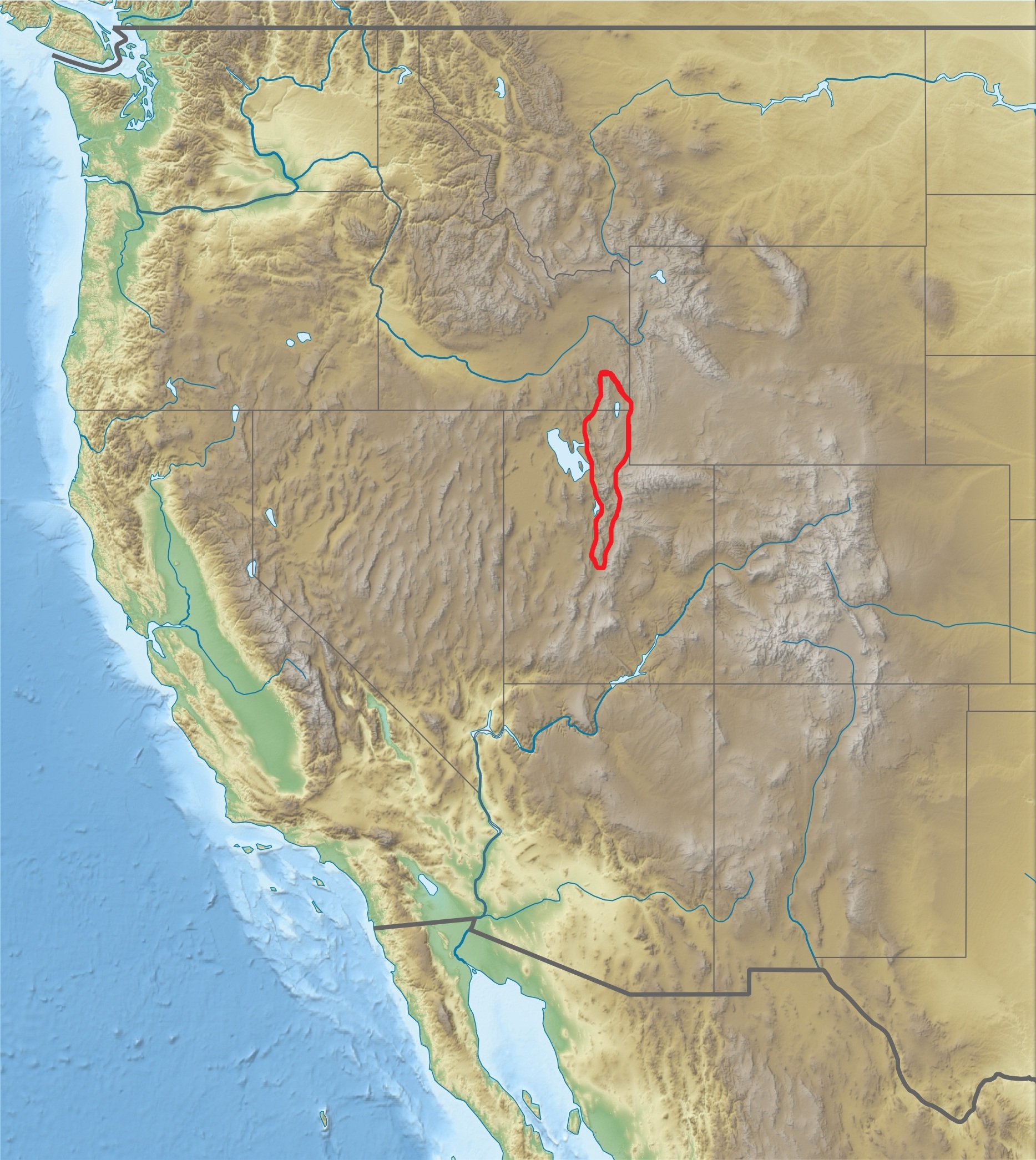
Image: USA Region West relief Wasatch Range location map
Size of this preview: 535 × 599 pixels. Other resolutions: 214 × 240 pixels | 1,867 × 2,091 pixels.
Original image (1,867 × 2,091 pixels, file size: 1.05 MB, MIME type: image/jpeg)
Description: Wasatch Range on a physical location map of Western United States, USA
Title: USA Region West relief Wasatch Range location map
Credit: Own work Data from http://naturalearthdata.com/, Scale: 1:50 Mio SRTM3, AVHRR Land Cover (http://www.landcover.org) ETOPO1 (http://www.ngdc.noaa.gov/mgg/global/global.html)
Author: Alexrk2, Gemini1980
Usage Terms: Creative Commons Attribution-Share Alike 4.0
License: CC BY-SA 4.0
License Link: https://creativecommons.org/licenses/by-sa/4.0
Attribution Required?: Yes
Image usage
The following 2 pages link to this image:

All content from Kiddle encyclopedia articles (including the article images and facts) can be freely used under Attribution-ShareAlike license, unless stated otherwise.