
Image: USA Region West relief location map
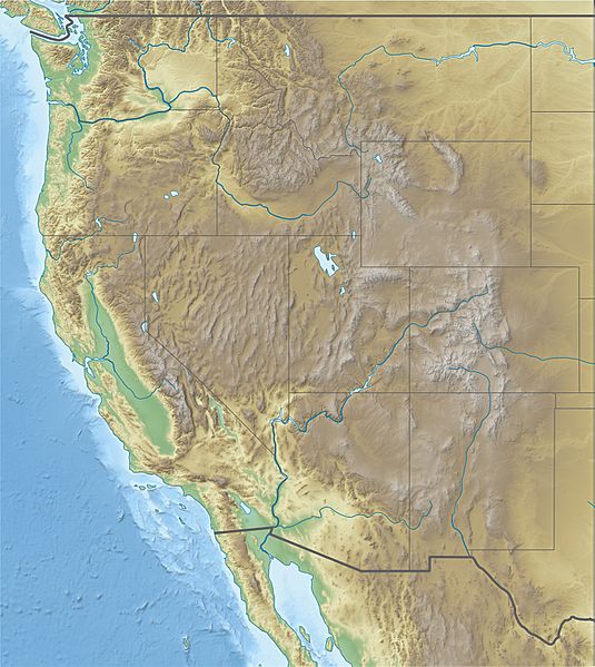
Size of this preview: 535 × 599 pixels. Other resolutions: 214 × 240 pixels | 1,867 × 2,091 pixels.
Original image (1,867 × 2,091 pixels, file size: 1.4 MB, MIME type: image/jpeg)
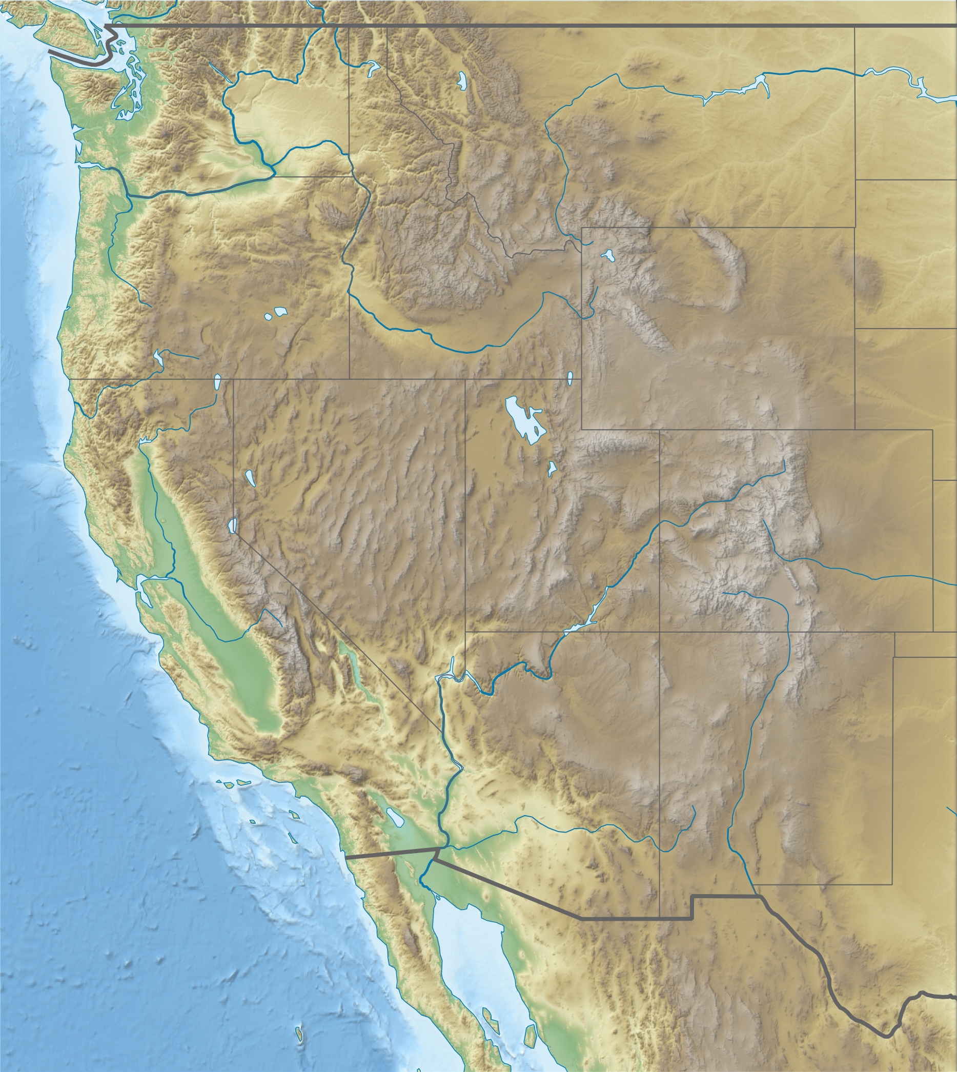
Description: Physical location map of Western United States, USA
Title: USA Region West relief location map
Credit: Own work Data from http://naturalearthdata.com/, Scale: 1:50 Mio SRTM3, AVHRR Land Cover (http://www.landcover.org) ETOPO1 (http://www.ngdc.noaa.gov/mgg/global/global.html)
Author: Alexrk2
Usage Terms: Creative Commons Attribution 3.0
License: CC BY 3.0
License Link: https://creativecommons.org/licenses/by/3.0
Attribution Required?: Yes
Image usage
The following 22 pages link to this image:
- Bridge Canyon Dam
- Burning Man
- Camp Abbot
- Casper Mountain
- Echo Park Dam
- Grand Coulee Dam
- Harvard, Idaho
- Holt Arena
- Hungry Horse Dam
- Idaho Central Arena
- Lolo Pass (Idaho–Montana)
- Lookout Pass
- Lost Trail Pass
- Marble Canyon Dam
- Mount Heyburn
- North Dam
- North–South Ski Bowl
- Pierre's Hole
- Redfish Lake
- St. Paul Pass Tunnel
- Tamarack Ski Area (Troy, Idaho)
- Wichita State University football team plane crash

All content from Kiddle encyclopedia articles (including the article images and facts) can be freely used under Attribution-ShareAlike license, unless stated otherwise.