
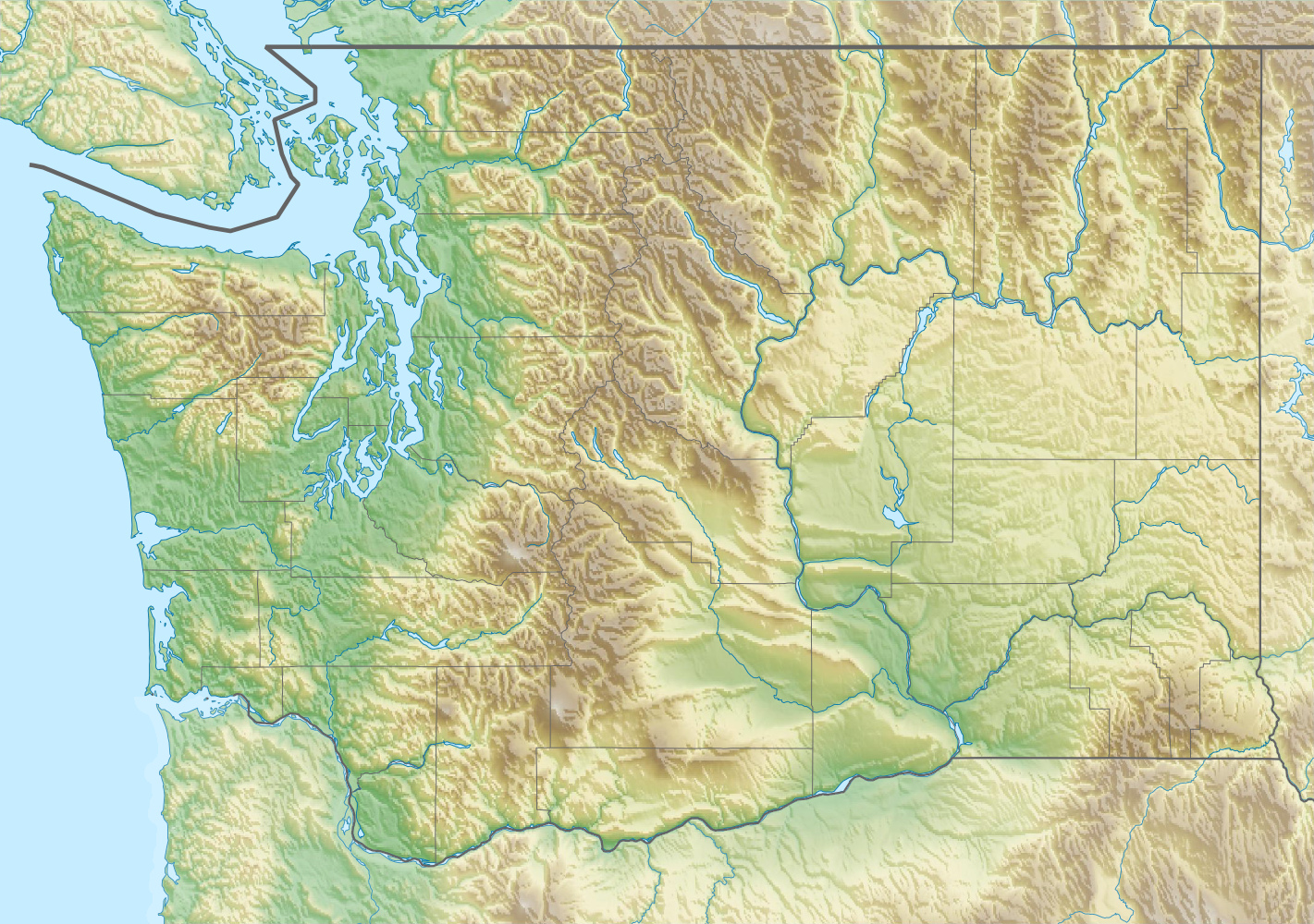
Image: USA Washington relief location map
Description: Physical location map of Washington, USA
Title: USA Washington relief location map
Credit: Own work, using File:USA Washington location map.svg by Alexrk2. STRM-30 data for the relief
Author: Carport
Permission: This file is licensed under the Creative Commons Attribution-Share Alike 3.0 Unported license. You are free: to share – to copy, distribute and transmit the work to remix – to adapt the work Under the following conditions: attribution – You must give appropriate credit, provide a link to the license, and indicate if changes were made. You may do so in any reasonable manner, but not in any way that suggests the licensor endorses you or your use. share alike – If you remix, transform, or build upon the material, you must distribute your contributions under the same or compatible license as the original. https://creativecommons.org/licenses/by-sa/3.0 CC BY-SA 3.0 Creative Commons Attribution-Share Alike 3.0 truetrue
Usage Terms: Creative Commons Attribution-Share Alike 3.0
License: CC BY-SA 3.0
License Link: https://creativecommons.org/licenses/by-sa/3.0
Attribution Required?: Yes
Image usage
More than 100 pages link to this image. The following list shows the first 100 page links to this image only. A full list is available.
- Adams Glacier (Mount Adams)
- Alaska Mountain
- Alta Lake State Park
- Alta Mountain
- American Border Peak
- Amphitheater Mountain (Washington)
- Anatone, Washington
- Anderson Lake (Jefferson County, Washington)
- Antler Peak (Washington)
- Apex Mountain (Okanogan County, Washington)
- Argonaut Peak
- Aries (mountain)
- Arrowhead Mountain (Washington)
- Azurite Peak
- Badger Mountain (Benton County, Washington)
- Baker Lake (Washington)
- Bald Eagle Peak
- Bandit Peak
- Banks Lake
- Banshee Peak
- Barrier Peak
- Bear Lake (Washington)
- Bear Mountain (North Cascades)
- Bearcat Ridge
- Bears Breast Mountain
- Beasley Coliseum
- Beaver Lake (King County, Washington)
- Beebe Mountain
- Big Bear Mountain
- Big Chiwaukum
- Big Craggy Peak
- Big Devil Peak
- Big Heart Lake
- Big Jim Mountain
- Big Kangaroo
- Big Lou
- Big Snow Mountain
- Bills Peak
- Bismarck Peak
- Bitter Lake (Seattle)
- Black Hills (Washington)
- Black Peak (Washington)
- Blackbeard Peak
- Blue Glacier
- Blue Lake Peak
- Boistfort, Washington
- Bonanza Peak (Washington)
- Booker Mountain
- Boston Peak
- Boulder Glacier (Washington)
- Boulder Ridge
- Boundary Dam
- Brahma Peak
- Breccia Peak (Washington)
- Bryant Peak
- Buck Mountain (Washington)
- Buckhorn Mountain
- Buckner Mountain
- Buell Peak
- Bulls Tooth
- Bumping Lake
- Burnt Boot Peak
- Burroughs Mountain
- Cadet Peak
- Camp Robber Peak
- Candy Mountain (Washington)
- Cannon Mountain (Washington)
- Cape Horn (Washington)
- Capitol Lake
- Carne Mountain
- Casad Dam
- Cascade Peak
- Cashmere Mountain
- Castle Lake (Washington)
- Castle Mountain (Washington)
- Castle Peak (Washington)
- Castle Rock (Chelan County)
- Cathedral Peak (Washington)
- Cathedral Rock (Washington)
- Chair Peak (Washington)
- Chambers Bay
- Columbia Glacier (Washington)
- Crystal Mountain (Washington)
- Green Lake (Seattle)
- Issaquah, Washington
- Lake Lenore (Washington)
- Lake Samish
- Martin, Washington
- McNeil Island
- Mount Baker
- Mount Olympus (Washington)
- Mount Rainier
- Mount St. Helens
- Mount Townsend (Washington)
- Puget Sound
- Red Mountain (Washington)
- Rockdale, Washington
- Scorpion Mountain (Washington)
- Seattle
- Seattle–Tacoma International Airport
