
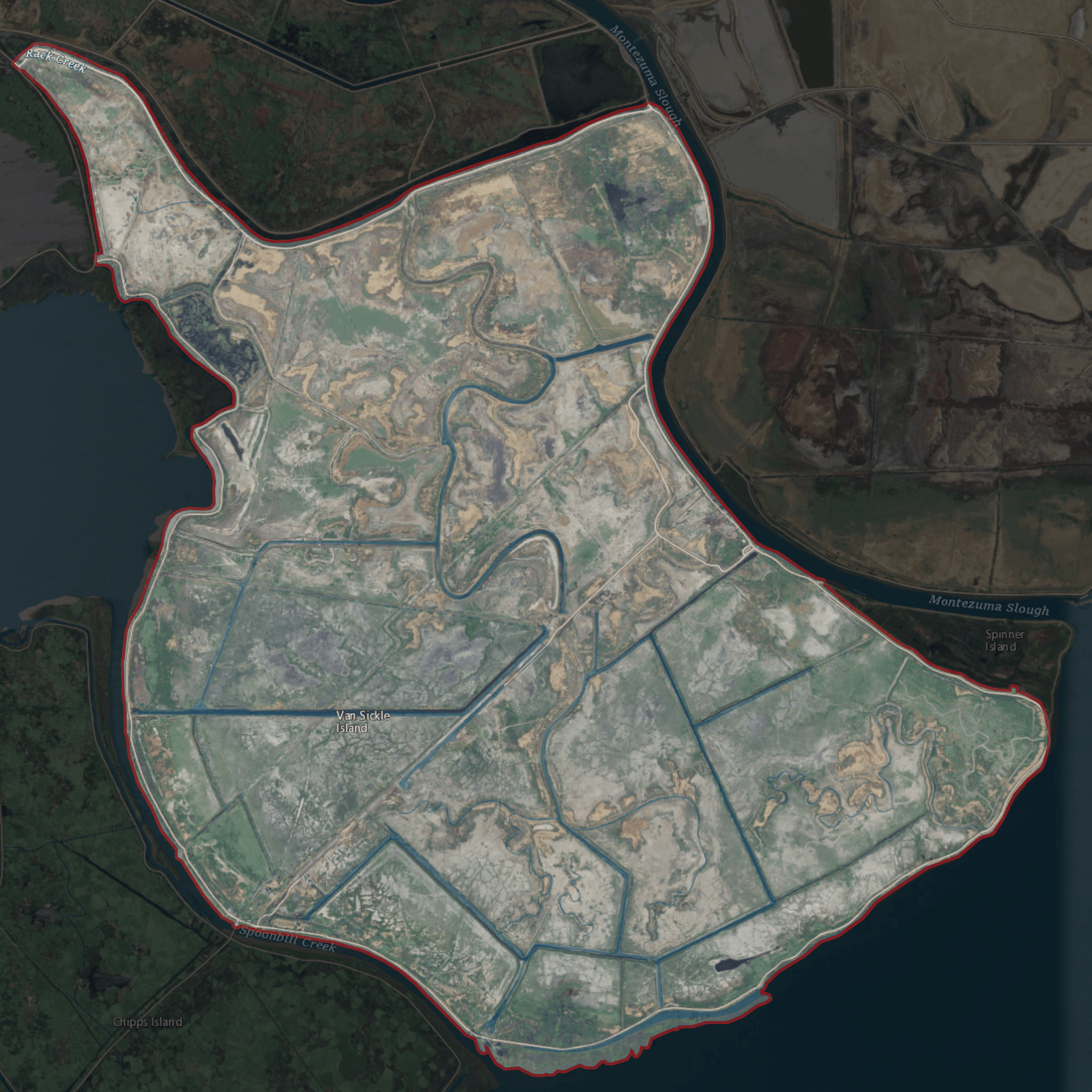
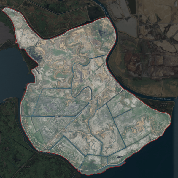
Image: USGS Aerial imagery of Van Sickle Island, California
Description: It's an island. I've done too many of these tonight to care about what I put here anymore. Baba booey. Updated version with highlighting: Backgrounds for these highlight images are black at 85-90% opacity, outlines are 2-10px outside selection border, pure red at 15-25% opacity. Boundaries taken from USGS survey maps (1913 through 2018), reclamation district documents, and county files.
Title: USGS Aerial imagery of Van Sickle Island, California
Credit: NASA tool at worldwind.earth, USGS Topo Imagery map layer
Author: USGS imagery, self
Permission: This image is in the public domain in the United States because it only contains materials that originally came from the United States Geological Survey, an agency of the United States Department of the Interior. For more information, see the official USGS copyright policy.
Usage Terms: Public domain
License: Public domain
Attribution Required?: No
Image usage
The following 2 pages link to this image:
