
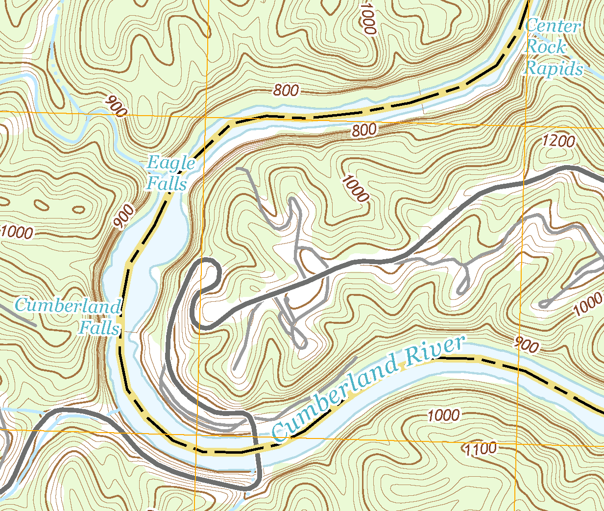
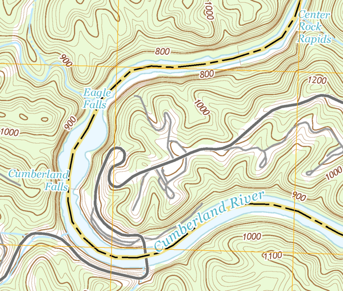
Image: USGS Cumberland Falls area map (cropped) (cropped)
Size of this preview: 709 × 600 pixels. Other resolutions: 284 × 240 pixels | 1,233 × 1,043 pixels.
Original image (1,233 × 1,043 pixels, file size: 104 KB, MIME type: image/png)
Description: USGS map showing the area surrounding the Cumberland Falls
Title: USGS Cumberland Falls area map (cropped) (cropped)
Credit: Taken from USGS website at https://waterdata.usgs.gov/nwis/uv?site_no=03404500
Author: United States Geological Survey
Usage Terms: Public domain
License: Public domain
Attribution Required?: No
Image usage
The following page links to this image:

All content from Kiddle encyclopedia articles (including the article images and facts) can be freely used under Attribution-ShareAlike license, unless stated otherwise.
_(cropped).png)