
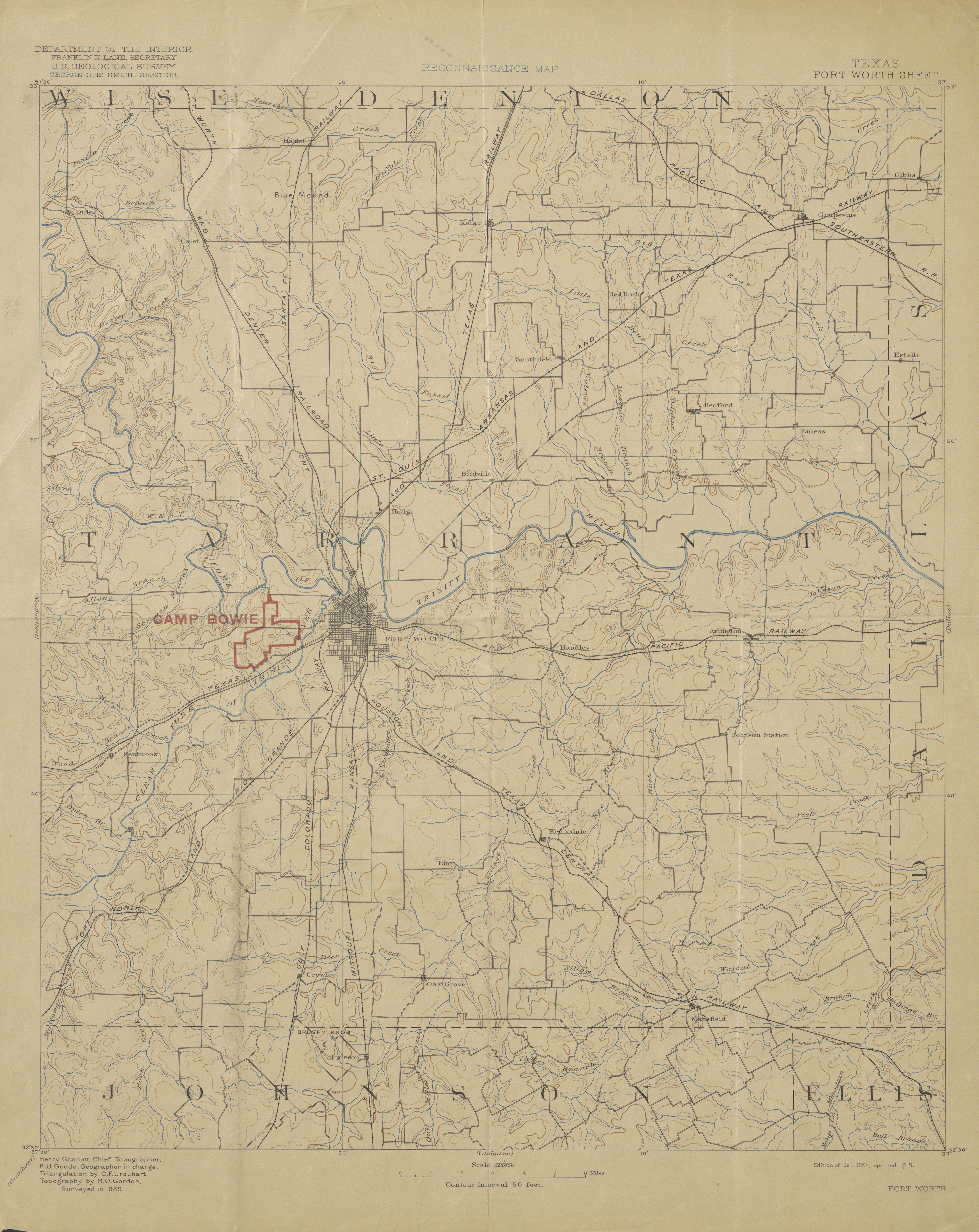
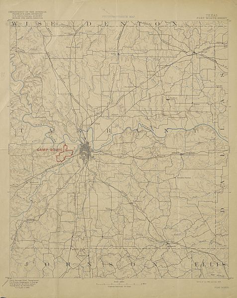
Image: USGS Reconnaissance Map of Tarrant County, Texas 1918 (1894 edition) UTA
Size of this preview: 476 × 599 pixels. Other resolutions: 191 × 240 pixels | 4,004 × 5,040 pixels.
Original image (4,004 × 5,040 pixels, file size: 7.72 MB, MIME type: image/jpeg)
Title: Reconnaissance Map, Texas, Fort Worth Sheet
Credit: UTA Libraries Cartographic Connections: map / text
Author: United States Geological Survey
Usage Terms: Public domain
License: Public domain
Attribution Required?: No
Image usage
The following page links to this image:

All content from Kiddle encyclopedia articles (including the article images and facts) can be freely used under Attribution-ShareAlike license, unless stated otherwise.
_UTA.jpg)