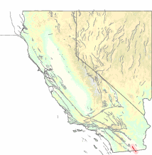
Image: USGS map of Imperial fault zone
USGS_map_of_Imperial_fault_zone.gif (214 × 218 pixels, file size: 16 KB, MIME type: image/gif)
Description: USGS map of the Imperial Fault Zone — in Imperial County, Southern California. A system of geological right lateral-moving strike slip faults located in the in the Imperial Valley region, along the border of the United States and Mexico. It is connected to the San Andreas Fault system by the Brawley Seismic Zone.
Title: USGS map of Imperial fault zone
Credit: https://earthquake.usgs.gov/earthquakes/recenteqscanv/fault/105.html
Author: USGS
Usage Terms: Public domain
License: Public domain
Attribution Required?: No
Image usage
The following page links to this image:

All content from Kiddle encyclopedia articles (including the article images and facts) can be freely used under Attribution-ShareAlike license, unless stated otherwise.

