
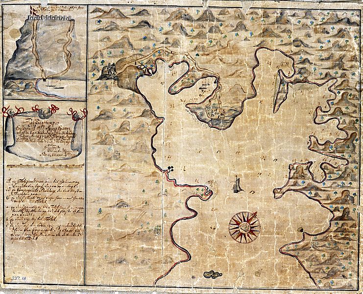
Image: USVI - St. John - Coral Bay - Map from 1720

Size of this preview: 741 × 599 pixels. Other resolutions: 297 × 240 pixels | 6,831 × 5,525 pixels.
Original image (6,831 × 5,525 pixels, file size: 3.89 MB, MIME type: image/jpeg)
Description: Coral Bay, St. John, USVI, Map from 1720
Title: USVI - St. John - Coral Bay - Map from 1720
Credit: National Archives Denmark
Usage Terms: Public domain
License: Public domain
Attribution Required?: No
Image usage
The following 3 pages link to this image:

All content from Kiddle encyclopedia articles (including the article images and facts) can be freely used under Attribution-ShareAlike license, unless stated otherwise.