
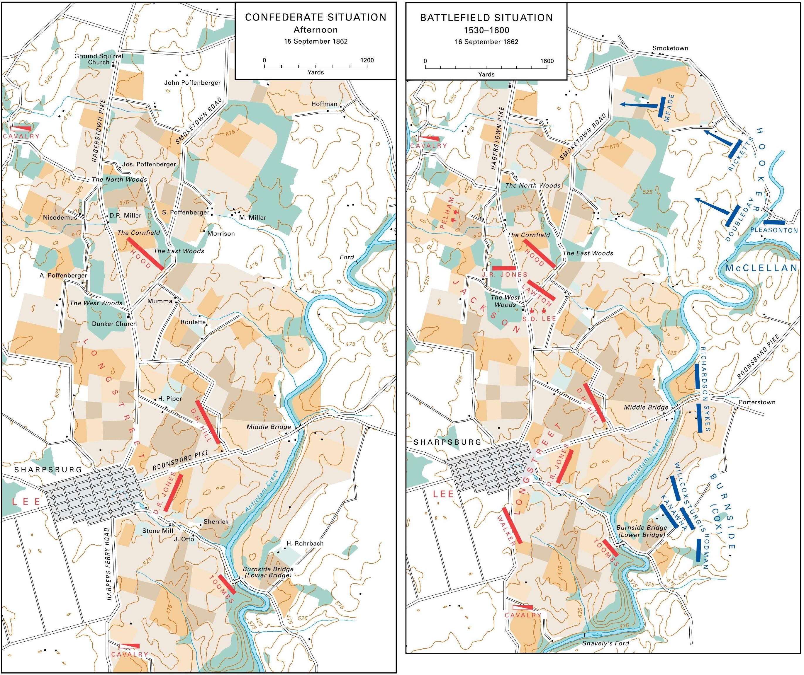
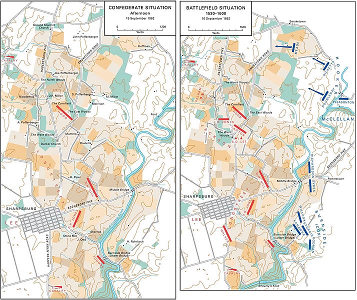
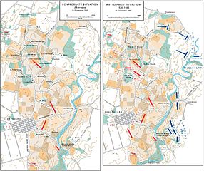
Image: US ARMY MARYLAND CAMPAIGN MAP 4 (ANTIETAM)
Size of this preview: 714 × 600 pixels. Other resolutions: 286 × 240 pixels | 2,742 × 2,304 pixels.
Original image (2,742 × 2,304 pixels, file size: 1.55 MB, MIME type: image/jpeg)
Description: Maryland Campaign: 15-16 September 1862 (Battlefield of Antietam).
Title: US ARMY MARYLAND CAMPAIGN MAP 4 (ANTIETAM)
Credit: Perry D. Jamieson and Bradford A. Wineman, The Maryland and Fredericksburg Campaigns, 1862–1863. Washington, DC: United States Army Center of Military History, 2015. CMH Pub 75-6.
Author: United States Army Center of Military History
Usage Terms: Public domain
License: Public domain
Attribution Required?: No
Image usage
The following page links to this image:

All content from Kiddle encyclopedia articles (including the article images and facts) can be freely used under Attribution-ShareAlike license, unless stated otherwise.
.jpg)