
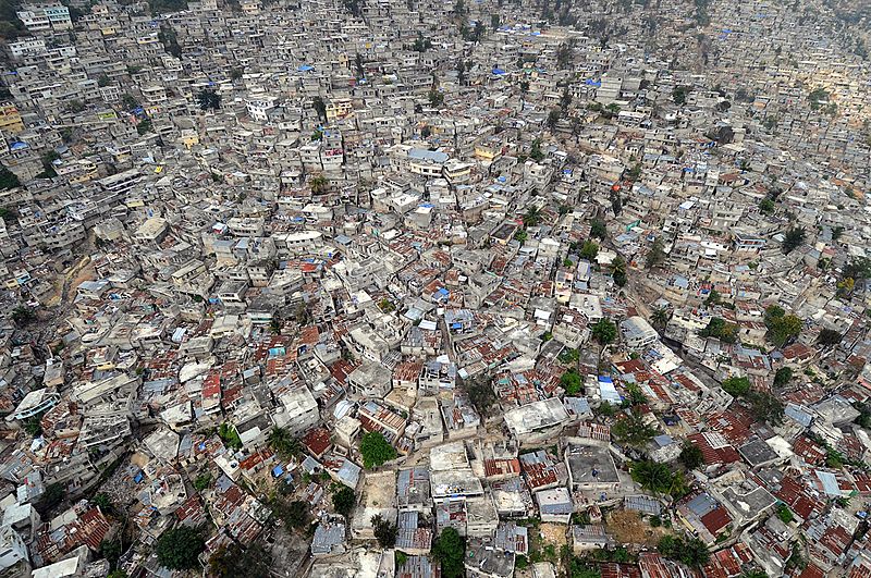
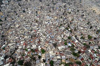
Image: US Navy 100316-N-5961C-020 An aerial view of Port-au-Prince, Haiti shows the proximity of homes, many damaged in a major earthquake and subsequent aftershocks

Size of this preview: 800 × 531 pixels. Other resolutions: 320 × 212 pixels | 2,784 × 1,848 pixels.
Original image (2,784 × 1,848 pixels, file size: 5.54 MB, MIME type: image/jpeg)
Description: PORT-AU-PRINCE, Haiti (March 16, 2010) An aerial view of Port-au-Prince, Haiti shows the proximity of homes, many damaged in a major earthquake and subsequent aftershocks. Several U.S. and international military and non-governmental agencies are conducting humanitarian and disaster relief operations as part of Operation Unified Response after a 7.0-magnitude earthquake caused severe damage in and around Port-au-Prince, Haiti Jan. 12. (U.S. Navy photo by Senior Chief Mass Communication Specialist Spike Call/Released)
Usage Terms: Public domain
Image usage
There are no pages that link to this image.

All content from Kiddle encyclopedia articles (including the article images and facts) can be freely used under Attribution-ShareAlike license, unless stated otherwise.