
Image: Viaduct at Randalstown - geograph.org.uk - 78228
No higher resolution available.
Viaduct_at_Randalstown_-_geograph.org.uk_-_78228.jpg (640 × 479 pixels, file size: 173 KB, MIME type: image/jpeg)
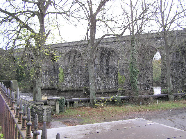
Description: Viaduct at Randalstown. The top of the 19th Century Randalstown Viaduct and part of the railway track have been converted into a walkway and cycle path leading from Station Road to New Street
Title: Viaduct at Randalstown - geograph.org.uk - 78228
Credit: From geograph.org.uk
Author: Kenneth Allen
Usage Terms: Creative Commons Attribution-Share Alike 2.0
License: CC BY-SA 2.0
License Link: https://creativecommons.org/licenses/by-sa/2.0
Attribution Required?: Yes
Image usage
The following page links to this image:

All content from Kiddle encyclopedia articles (including the article images and facts) can be freely used under Attribution-ShareAlike license, unless stated otherwise.