
Image: Wellington landsat labelled
Size of this preview: 800 × 593 pixels. Other resolutions: 320 × 237 pixels | 1,280 × 948 pixels.
Original image (1,280 × 948 pixels, file size: 206 KB, MIME type: image/jpeg)
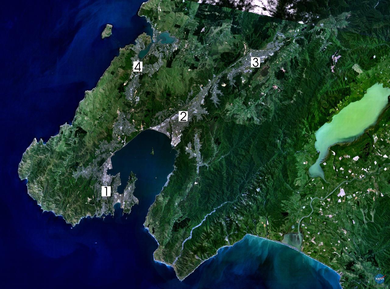
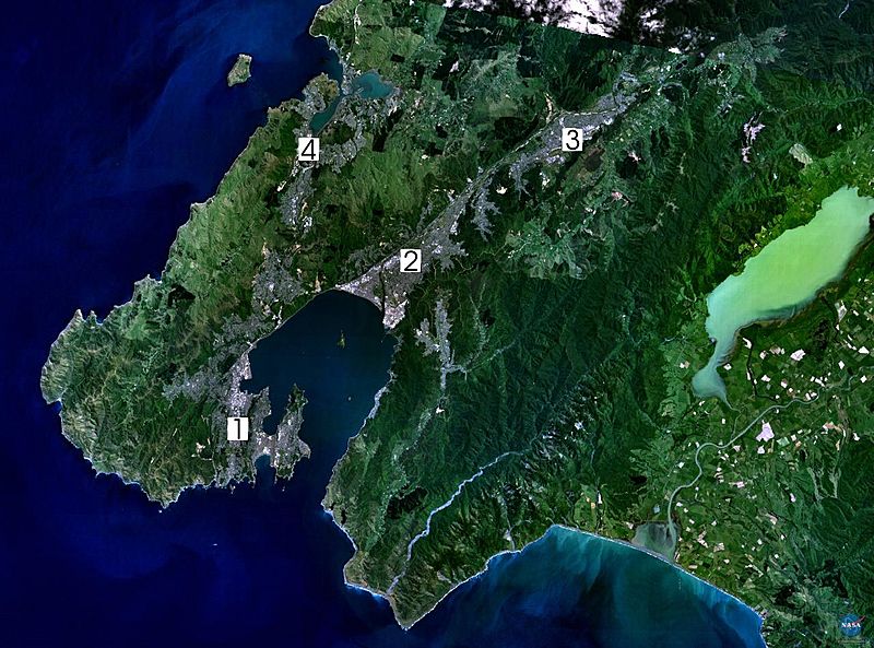
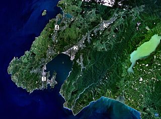
Description: Satellite photo of the Wellington conurbation: (1) Wellington; (2) Lower Hutt; (3) Upper Hutt; (4) Porirua.
Title: Wellington landsat labelled
Credit: en:wikipedia
Author: NASA, edited by en:User:Clawed
Permission: This image is in the public domain because it is a screenshot from NASA’s globe software World Wind using a public domain layer, such as Blue Marble, MODIS, Landsat, SRTM, USGS or GLOBE. English | فارسی | മലയാളം | Nederlands | Русский | +/−
Usage Terms: Public domain
License: Public domain
Attribution Required?: No
Image usage
The following 3 pages link to this image:

All content from Kiddle encyclopedia articles (including the article images and facts) can be freely used under Attribution-ShareAlike license, unless stated otherwise.