
Image: West Africa 1839
Size of this preview: 800 × 530 pixels. Other resolutions: 320 × 212 pixels | 961 × 637 pixels.
Original image (961 × 637 pixels, file size: 288 KB, MIME type: image/jpeg)
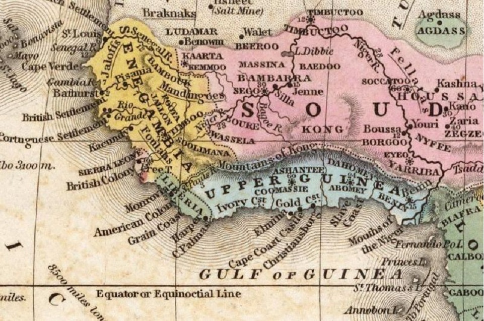
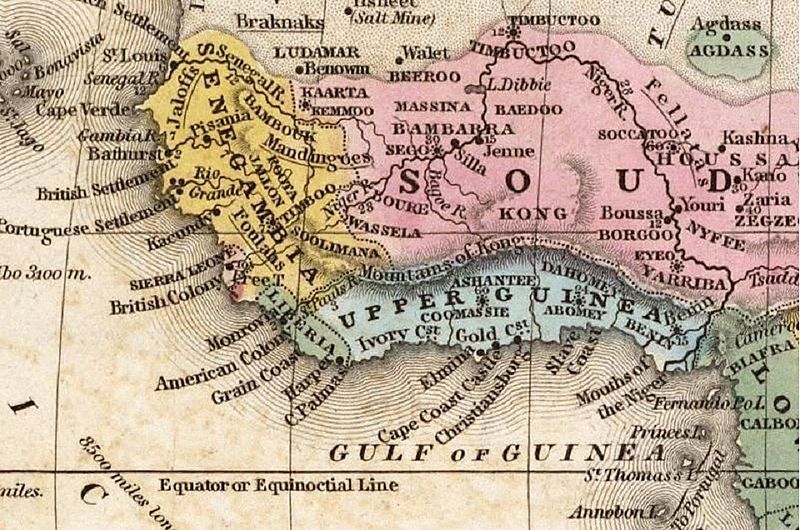
Description: Map published in 1839 showing parts of West Africa and the Gulf of Guinea. The American colony of Liberia and of the British colony of Sierra Leone are shown.
Title: West Africa 1839
Credit: https://historiek.net/moordkaarten-en-king-kong-gebergtes/33729/
Author: Unspecified (1839)
Usage Terms: Public domain
License: Public domain
Attribution Required?: No
Image usage
The following 2 pages link to this image:

All content from Kiddle encyclopedia articles (including the article images and facts) can be freely used under Attribution-ShareAlike license, unless stated otherwise.