
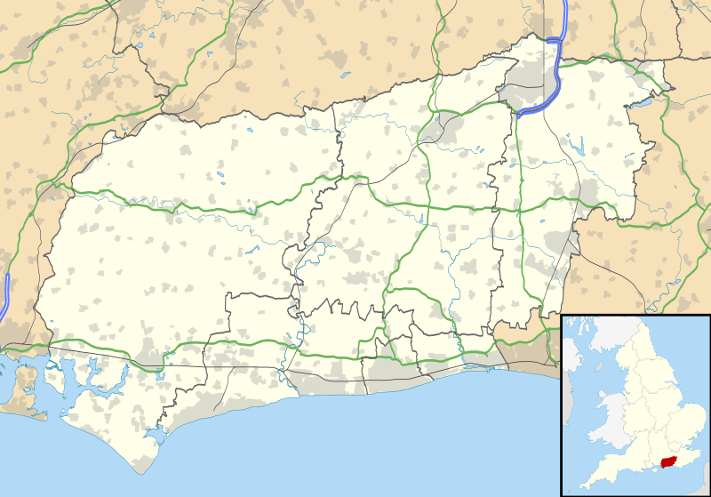
Image: West Sussex UK location map

Description: Map of West Sussex, UK with the following information shown: Administrative borders Coastline, lakes and rivers Roads and railways Urban areas Equirectangular map projection on WGS 84 datum, with N/S stretched 155% Geographic limits: West: 1.01W East: 0.10E North: 51.20N South: 50.70N
Title: West Sussex UK location map
Credit: Ordnance Survey OpenData. Administrative borders and coastline data from Boundary-Line product. All other geographic data from Meridian 2 product. Inset derived from England location map.svg by Spischot.
Author: Nilfanion, created using Ordnance Survey data
Permission: This file is licensed under the Creative Commons Attribution-Share Alike 3.0 Unported license. Attribution: Contains Ordnance Survey data © Crown copyright and database right You are free: to share – to copy, distribute and transmit the work to remix – to adapt the work Under the following conditions: attribution – You must attribute the work in the manner specified by the author or licensor (but not in any way that suggests that they endorse you or your use of the work). share alike – If you alter, transform, or build upon this work, you may distribute the resulting work only under the same or similar license to this one. http://creativecommons.org/licenses/by-sa/3.0 CC BY-SA 3.0 Creative Commons Attribution-Share Alike 3.0 truetrue
Usage Terms: Creative Commons Attribution-Share Alike 3.0
License: CC BY-SA 3.0
License Link: http://creativecommons.org/licenses/by-sa/3.0
Attribution Required?: Yes
Image usage
The following 49 pages link to this image:
- All Saints United Reformed Church, Burgess Hill
- Arundel
- Billingshurst Unitarian Chapel
- Blackpatch
- Bognor Regis
- Bramber
- Bramber Castle
- Burgess Hill
- Chichester
- Chichester Cathedral
- Church Hill, West Sussex
- Church of the Holy Sepulchre, Warminghurst
- Coates, West Sussex
- Cocking, West Sussex
- Crawley
- East Grinstead
- East Wittering
- Garbett's Wood
- Gatwick Airport
- Goring-by-Sea
- Harrow Hill, West Sussex
- Harting
- Haywards Heath
- Horsham
- Horsham Unitarian Church
- Littlehampton
- Littlehampton Friends Meeting House
- Midhurst
- Nuthurst
- Petworth
- Pulborough
- Queen Victoria Hospital
- RAF Tangmere
- Rustington
- Selsey
- Selsey Bill
- Shoreham-by-Sea
- St Leodegar's Church, Hunston
- St Mary the Virgin's Church, North Stoke
- St Wilfrid's Church, Burgess Hill
- Steyning
- Tarring, West Sussex
- Thundersbarrow Hill
- Turners Hill
- Tuxlith Chapel
- West Thorney
- West Wittering
- Yapton Free Church
- Template:Location map United Kingdom West Sussex
