
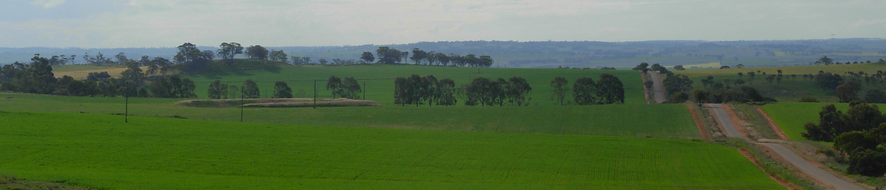
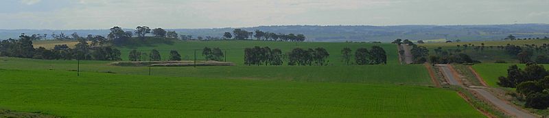
Image: Wheatbelt panorama-2
Size of this preview: 800 × 172 pixels. Other resolutions: 320 × 69 pixels | 2,995 × 643 pixels.
Original image (2,995 × 643 pixels, file size: 562 KB, MIME type: image/jpeg)
Description: Scenery of the Wheatbelt region looking North from Centenary Hill, near the corner of Southern Brook & Habgood Roads, east of Northam, Western Australia.
Title: Wheatbelt panorama-2
Credit: uploaded by photographer
Author: JarrahTree
Usage Terms: Creative Commons Attribution 2.5 au
License: CC BY 2.5 au
License Link: http://creativecommons.org/licenses/by/2.5/au/deed.en
Attribution Required?: Yes
Image usage
The following page links to this image:

All content from Kiddle encyclopedia articles (including the article images and facts) can be freely used under Attribution-ShareAlike license, unless stated otherwise.