
Karoonda, South Australia facts for kids
Quick facts for kids KaroondaSouth Australia |
|||||||||||||||
|---|---|---|---|---|---|---|---|---|---|---|---|---|---|---|---|

Main Street of Karoonda
|
|||||||||||||||

Karoonda
Location in South Australia
|
|||||||||||||||
| Population |
|
||||||||||||||
| Established | 11 December 1913 (town) 11 November 1999 (locality) |
||||||||||||||
| Postcode(s) | 5307 | ||||||||||||||
| Time zone | ACST (UTC+9:30) | ||||||||||||||
| • Summer (DST) | ACDT (UTC+10:30) | ||||||||||||||
| Location | 119 km (74 mi) E of Adelaide | ||||||||||||||
| LGA(s) | District Council of Karoonda East Murray | ||||||||||||||
| Region | Murray and Mallee | ||||||||||||||
| County | Buccleuch | ||||||||||||||
| State electorate(s) | Hammond | ||||||||||||||
| Federal Division(s) | Barker | ||||||||||||||
|
|||||||||||||||
|
|||||||||||||||
| Footnotes | Adjoining localities | ||||||||||||||

Karoonda is in the middle of the Murray Mallee region of South Australia (60 km northeast of Murray Bridge). Karoonda takes its name from the Aboriginal word for "winter camp". The current boundaries include the former town of Lowaldie, which was the next stop on the railway line away from Adelaide.
At the 2016 census, the locality of Karoonda had a population of 512 of which 351 were living in and around the town of Karoonda. In Karoonda locality 90.6% of people were born in Australia and 93.3% of people spoke only English at home. The most common responses for religion were Uniting Church 25.0% and No Religion 22.4%.
Karoonda was founded on wheat growing early in the 20th century (proclaimed on 11 December 1913), but the cleared land is also suitable for raising merino sheep. The Karoonda Development Group instigated and built a larger-than-life sculpture of a Merino ram in the park in the main street to emphasise this. There are even seats with rams heads dotted around the town. A number of other agricultural and horticultural industries are now also represented in the district. Each year the Karoonda Farm Fair is held, a two-day event attracting over 10,000 visitors to the town.
In 1922 the District Council of Karoonda was established, bringing local-level government to the township and surrounding district for the first time.
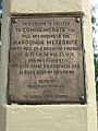
Karoonda briefly shot to international fame in 1930 when a meteorite fell to earth just to the east of the town on the night of 25 November.
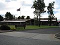
Karoonda Area School was the first area school in South Australia.
Karoonda is located in the local government area of District Council of Karoonda East Murray, the state electoral district of Hammond and the federal Division of Barker.
Pioneer Park on East Terrace is being developed as a Malleelands Pioneer Railways and farm museum, with displays of harvest machinery, plows, railway rolling stock and facilities already in place. The Nature Trail & Bush Walk is adjacent.
Lowaldie
The Lowaldie railway station was 6.25 miles (10.06 km) east of Karoonda and also had a small town surveyed, with a school and post office operating for some time. These have all closed, and the former institute building is used as a private residence. The station was originally named Lowalde in 1913, but when the town was proclaimed in 1914, the spelling used was Lowaldie. The name is derived from a Ngarrindjeri word meaning summer.
Photo gallery
-
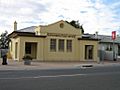
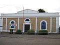
Post Office
-
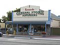
General Store
-
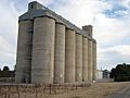
ABB Silos
-
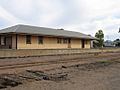
Old Railway Station
-
Police Memorial, Railway Tce
-
Lions Pioneer Park
-
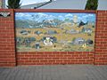
Painting at Parking Bay
-
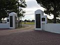
Memorial Gates at the Oval
-
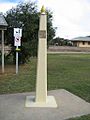
Obelisk
-
Obelisk
-
Area School
-
Area School
-
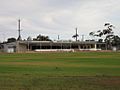
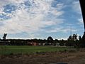
Oval
-
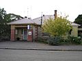
Institute
-
Hospital
-
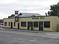
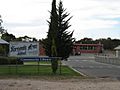
Karoonda Pub
-
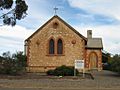
"All Hallows" Anglican Church
-
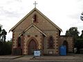
St Finian's Catholic Church
-
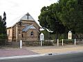
St Johns Lutheran Church
-
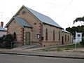
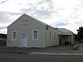
Uniting Church
-
Op-Shop
-
Ambulance Station
-
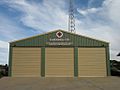
CFS Station
-
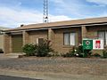
Police Station


