Rocky Ridge, Ohio facts for kids
Quick facts for kids
Rocky Ridge, Ohio
|
|
|---|---|
|
Village
|
|

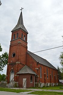
Former St. John's Lutheran Church, Second Street
|
|

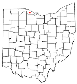
Location of Rocky Ridge, Ohio
|
|

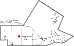
Location of Rocky Ridge in Ottawa County
|
|
| Country | United States |
| State | Ohio |
| County | Ottawa |
| Area | |
| • Total | 1.02 sq mi (2.63 km2) |
| • Land | 1.00 sq mi (2.59 km2) |
| • Water | 0.01 sq mi (0.04 km2) |
| Elevation | 607 ft (185 m) |
| Population
(2020)
|
|
| • Total | 312 |
| • Density | 311.38/sq mi (120.27/km2) |
| Time zone | UTC-5 (Eastern (EST)) |
| • Summer (DST) | UTC-4 (EDT) |
| ZIP code |
43458
|
| Area code(s) | 419 |
| FIPS code | 39-68042 |
| GNIS feature ID | 2399109 |
Rocky Ridge is a small village located in Ottawa County, Ohio, in the United States. In 2020, about 312 people lived there. It is a quiet community in the state of Ohio.
Contents
Where is Rocky Ridge Located?
Rocky Ridge is in Ohio, a state in the United States. It is part of Ottawa County. The village covers a total area of about 2.63 square kilometers (1.02 square miles). Most of this area is land, with a very small part being water.
How Many People Live in Rocky Ridge?
The number of people living in Rocky Ridge changes over time. Here's a look at the population from different years:
| Historical population | |||
|---|---|---|---|
| Census | Pop. | %± | |
| 1890 | 483 | — | |
| 1900 | 414 | −14.3% | |
| 1910 | 349 | −15.7% | |
| 1920 | 215 | −38.4% | |
| 1930 | 213 | −0.9% | |
| 1940 | 275 | 29.1% | |
| 1950 | 358 | 30.2% | |
| 1960 | 441 | 23.2% | |
| 1970 | 385 | −12.7% | |
| 1980 | 457 | 18.7% | |
| 1990 | 425 | −7.0% | |
| 2000 | 389 | −8.5% | |
| 2010 | 417 | 7.2% | |
| 2020 | 312 | −25.2% | |
| U.S. Decennial Census | |||
Population in 2010
In 2010, there were 417 people living in Rocky Ridge. These people lived in 159 different homes. Many of these homes were families, including some with children under 18 years old. The average age of people in the village was about 39 years old.
See also
 In Spanish: Rocky Ridge (Ohio) para niños
 | Aurelia Browder |
 | Nannie Helen Burroughs |
 | Michelle Alexander |

