
San Antón, Carolina, Puerto Rico facts for kids
Quick facts for kids
San Antón
|
|
|---|---|
|
Barrio
|
|

Escorial Park in San Antón
|
|

Location of San Antón within the municipality of Carolina shown in red
|
|

San Antón, Carolina, Puerto Rico
Location in Caribbean
|
|
| Commonwealth | |
| Municipality | |
| Area | |
| • Total | 1.91 sq mi (4.9 km2) |
| • Land | 1.91 sq mi (4.9 km2) |
| • Water | 0 sq mi (0 km2) |
| Elevation | 266 ft (81 m) |
| Population
(2010)
|
|
| • Total | 13,578 |
| • Density | 7,146.3/sq mi (2,759.2/km2) |
| Source: 2010 Census | |
| Time zone | UTC−4 (AST) |
San Antón is a neighborhood, called a barrio, in the town of Carolina, Puerto Rico. It's a busy place with many people living there. In 2010, about 13,578 people called San Antón home. It's located on the beautiful island of Puerto Rico.
Contents
A Look at San Antón's Past
How San Antón Became Part of the U.S.
Puerto Rico used to belong to Spain. After a war between Spain and the United States, called the Spanish–American War, Puerto Rico became a territory of the United States in 1898. This happened because of an agreement called the Treaty of Paris of 1898.
Early Population Counts in San Antón
In 1899, the United States Department of War counted everyone living in Puerto Rico. They found that 615 people lived in San Antón, which was then called San Antonio. This was one of the first times the population was officially recorded.
San Antón's Growing Population Over Time
San Antón has grown a lot over the years! From 1990 to 2000, its population increased by more than 21%. Then, from 2000 to 2010, it grew even more, by almost 30%. This shows that more and more people are choosing to live in this vibrant community.
| Historical population | |||
|---|---|---|---|
| Census | Pop. | %± | |
| 1900 | 615 | — | |
| 1910 | 709 | 15.3% | |
| 1920 | 780 | 10.0% | |
| 1930 | 797 | 2.2% | |
| 1940 | 2,290 | 187.3% | |
| 1950 | 3,138 | 37.0% | |
| 1980 | 7,414 | — | |
| 1990 | 8,598 | 16.0% | |
| 2000 | 10,465 | 21.7% | |
| 2010 | 13,578 | 29.7% | |
| U.S. Decennial Census 1899 (shown as 1900) 1910-1930 1930-1950 1980-2000 2010 |
|||
Images for kids
-
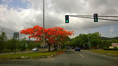
Puerto Rico Highway 8 in San Antón

See also
 In Spanish: San Antón (Carolina) para niños
- List of communities in Puerto Rico
