
Weethalle facts for kids
Quick facts for kids WeethalleNew South Wales |
|
|---|---|

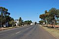
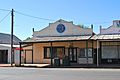
Railway Street (Mid-Western Highway), the main street of Weethalle
|
|

Weethalle
Location in New South Wales
|
|
| Population | 307 (2011 census) |
| Postcode(s) | 2669 |
| Location |
|
| LGA(s) | Bland Shire |
| State electorate(s) | Cootamundra |
| Federal Division(s) | Riverina |
Weethalle ( WEE-thal-ee) is a town in the Central West region of New South Wales, Australia. The town is in the Bland Shire local government area and on the Mid-Western Highway, 526 kilometres (327 mi) west of the state capital, Sydney, and 100 kilometres (62 mi) north east of Griffith. At the 2011 census, Weethalle and the surrounding area had a population of 307. The name "Weethalle" is said to be an Australian aboriginal word for drink.
History
The Weethalle area was set aside as homestead farms for returned soldiers in 1921. The Rankins Springs railway line was extended to Weethalle in 1922. Land clearing commenced and by 1923 the first wheat from the area was delivered to the Weethalle railway station.
By 1924, a site was surveyed for a village to service the surrounding farms with town allotment sales taking place the following year. A "skeleton" town was in existence by 1926, with "buildings in all states of construction" and "built mostly of wood". In the same year, a provisional school was established along with a branch of the Commercial Banking Company of Sydney.
An observer in 1928 described the growth of Weethalle as "remarkable" with the town having "sprung up in the night". In that year, a new hotel was built at a cost of £13,000. The hotel was the newest addition to a town that also boasted a bank, "2 stores ... butchers, bakers, hairdresser and tobacconist, several agents, a school, a doctor, a dance and picture hall, and a tri-weekly rail service."
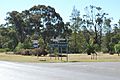
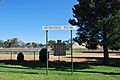
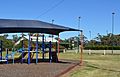
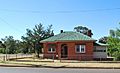
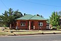
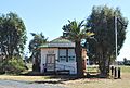
Gallery
-
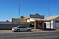
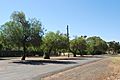
Weethalle Mid-Western Highway
-
Weethalle Mid-Western Highway
-
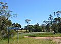
Pioneer Park
-
park
-
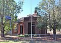
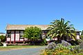
Court House
-
Post Office
-
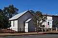
Presbyterian Church
-
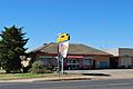
Weethalle Roadhouse
-
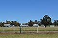
Weethalle Showgrounds
-
Sports Ground
-
Tennis Courts
-
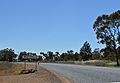
Weethalle Town Entry
-
CWA Rooms
-
Street in Weethalle
-
Weethalle Street
-
Museum
-
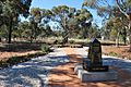
War memorial
-
Weethalle Wee St


-
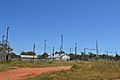
Railway Station

Images for kids
-
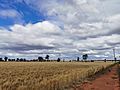
Wheatfield near Weethalle

