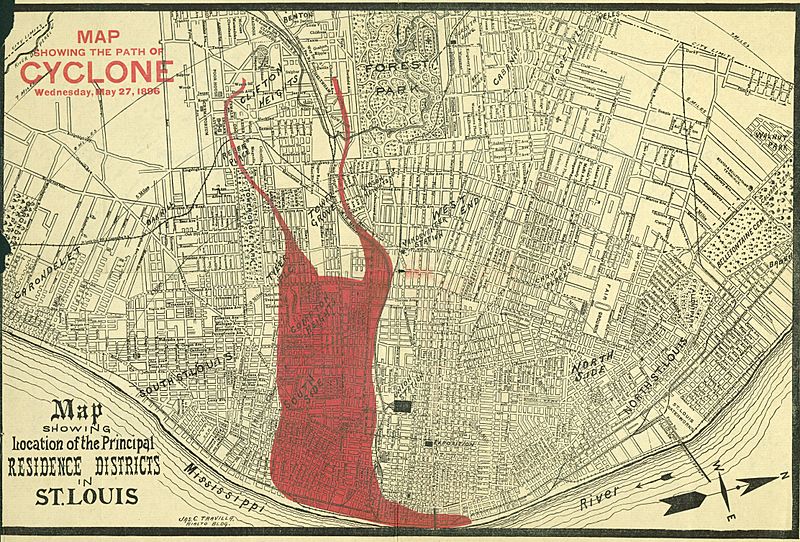
Image: "Map showing the path of the Cyclone, Wednesday, May 27, 1896." (superimposed on Map showing location of the Principal Residence Districts in St. Louis)

Description: Title: "Map showing the path of the Cyclone, Wednesday, May 27, 1896." (superimposed on Map showing location of the Principal Residence Districts in St. Louis). In fact, it was the path of destruction of the 1896 St. Louis–East St. Louis tornado.
Title: "Map showing the path of the Cyclone, Wednesday, May 27, 1896." (superimposed on Map showing location of the Principal Residence Districts in St. Louis)
Credit: Missouri History Museum URL: http://images.mohistory.org/image/41042947-97FC-B4C1-70AF-8BC4CAB1C292/original.jpg Gallery: http://collections.mohistory.org/resource/150639
Author: after Jas. C. Travilla
Permission: UND - Copyright undetermined MHS Open Access Policy: You are welcome to download and utilize any digital file that the Missouri Historical believes is likely in the public domain or is free of other known restrictions. This content is available free of charge and may be used without seeking permission from the Missouri Historical Society.
Usage Terms: Public domain
License: Public domain
Attribution Required?: No
Image usage
The following page links to this image:

