
Image: 14-Région-fr-Midi-Pyrénées-carte-R
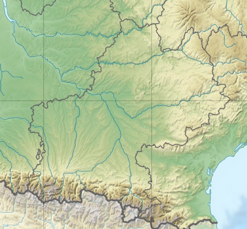
Description: *Carte Midi-Pyrénées Topographique fr:Modèle:Géolocalisation/Midi-Pyrénées
Title: 14-Région-fr-Midi-Pyrénées-carte-R
Credit: Decoupage carte de France de User:Sting topo
Author: Wikisoft* @@@-fr 11:01, 17 December 2012 (UTC)
Permission: The map has been created with the Generic Mapping Tools: https://www.generic-mapping-tools.org/ using one or more of these public-domain datasets for the relief: ETOPO2 (topography/bathymetry): http://www.ngdc.noaa.gov/mgg/global/global.html GLOBE (topography): http://www.ngdc.noaa.gov/mgg/topo/gltiles.html SRTM (topography): http://www2.jpl.nasa.gov/srtm/ বাংলা | English | Español | français | italiano | 日本語 | македонски | sicilianu | 中文 | +/− Permission is granted to copy, distribute and/or modify this document under the terms of the GNU Free Documentation License, Version 1.2 or any later version published by the Free Software Foundation; with no Invariant Sections, no Front-Cover Texts, and no Back-Cover Texts. A copy of the license is included in the section entitled GNU Free Documentation License.http://www.gnu.org/copyleft/fdl.htmlGFDLGNU Free Documentation Licensetruetrue
Usage Terms: GNU Free Documentation License
License: GFDL
License Link: http://www.gnu.org/copyleft/fdl.html
Attribution Required?: Yes
Image usage
The following 2 pages link to this image:
