
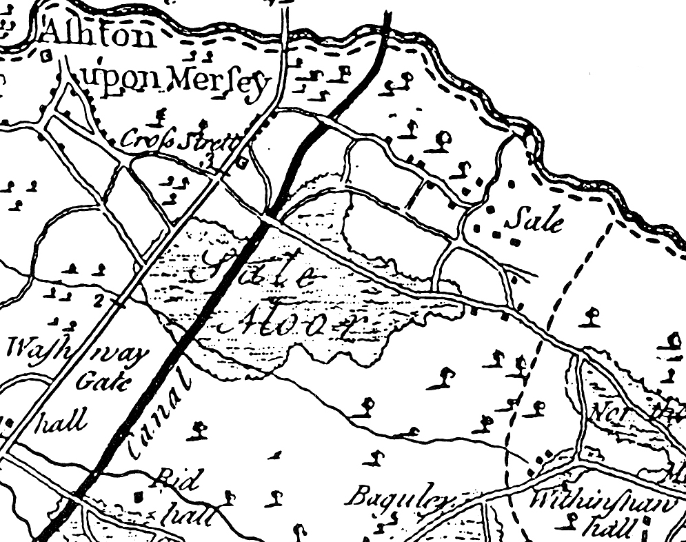
Image: 1777 Burdett map of Sale
Size of this preview: 759 × 600 pixels. Other resolutions: 304 × 240 pixels | 995 × 786 pixels.
Original image (995 × 786 pixels, file size: 455 KB, MIME type: image/jpeg)
Description: Part of a map of Cheshire, focused on the area around Sale, Greater Manchester
Title: 1777 Burdett map of Sale
Credit: Swain, Norman (1987) A History of Sale from earliest times to the present day, Wilmslow: Sigma Press, p. 34 ISBN: 1-85058-086-3.
Author: Burdett
Usage Terms: Public domain
License: Public domain
Attribution Required?: No
Image usage
The following page links to this image:

All content from Kiddle encyclopedia articles (including the article images and facts) can be freely used under Attribution-ShareAlike license, unless stated otherwise.