
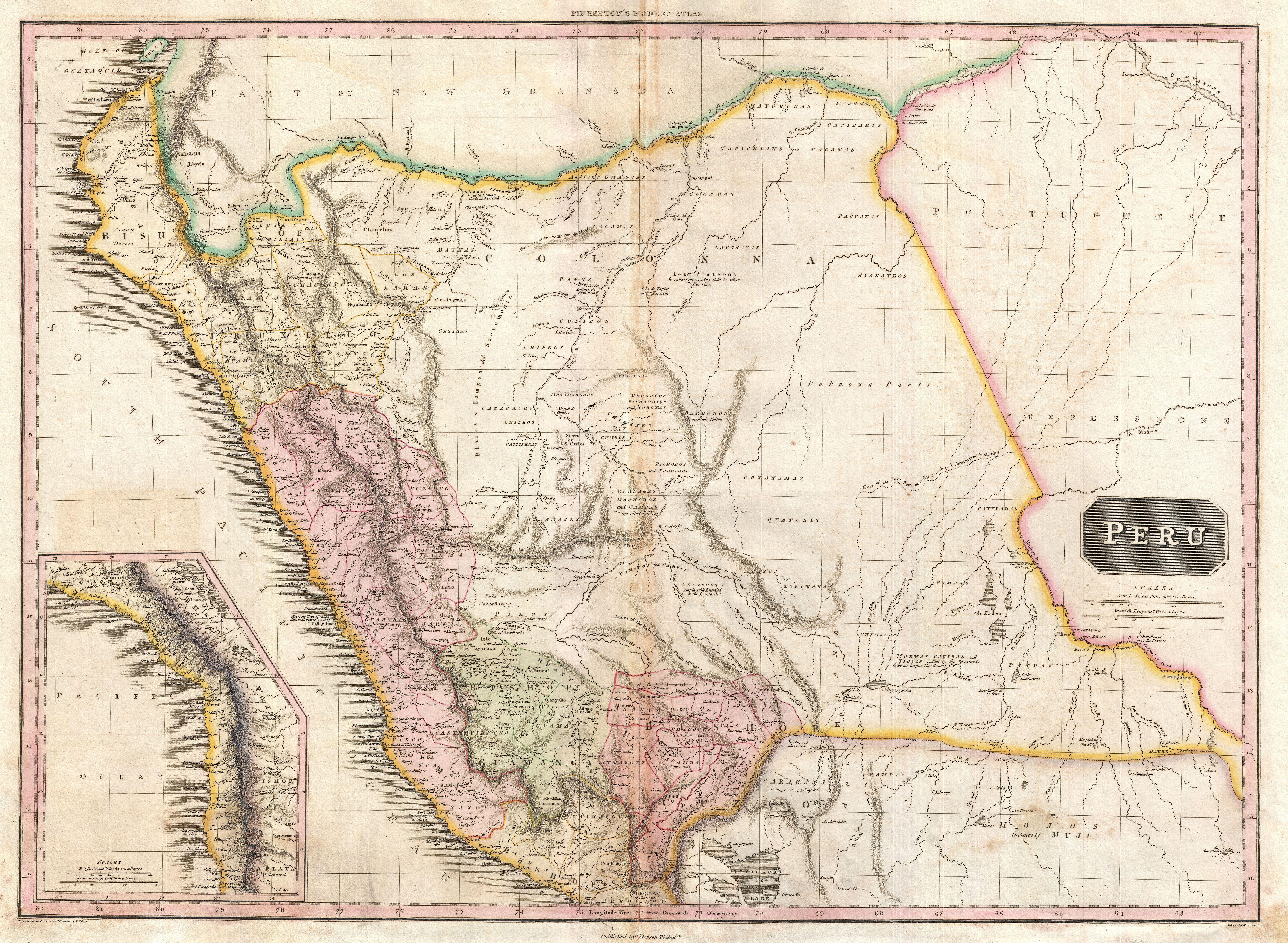
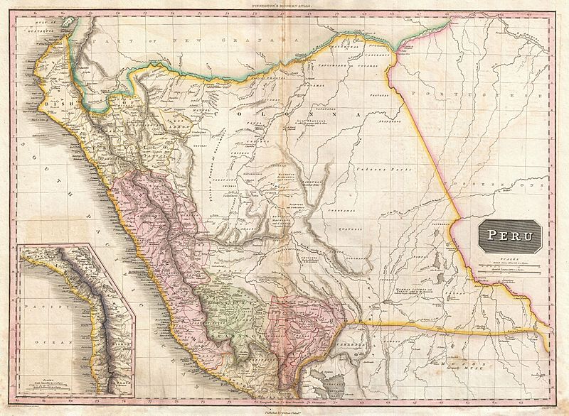
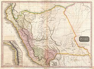
Image: 1818 Pinkerton Map of Peru - Geographicus - Peru-pinkerton-1818
Description: This is John Pinkerton's stunning 1818 map of Peru. Covers the western parts of South America from the Gulf of Guayaquil, in modern Ecuador to Lake Titicaca, modern Peru-Bolivia, and inland well into the Amazon and what is today Brazil. This beautifully rendered map is truly a masterpiece of engraving, with mountain ranges, lakes, deserts, and rivers excited with such precision that the result appears almost three dimensional. Pinkerton injects astounding detail throughout with countless towns, cities, geographical features, rivers, islands and bodies of water noted. This map offers a smorgasbord of speculative cartography - especially in the largely unexplored eastern regions and the Amazon basin. Pinkerton names countless indigenous groups, numerous speculative river systems, questionable mountains and mountain ranges, and a number of notes relating to the supposed discoveries of this or that explorer. The lowlands to the west of the Andes are mapped with considerable precision, contrasting sharply with the less known regions to the east and reflecting some of the challenges in administering Peru's easternmost provinces. One of the finest British atlas maps of Peru to appear in the 19th century. Drawn by L. Herbert and engraved by Samuel Neele under the direction of John Pinkerton. This map was issued in the scarce American edition of Pinkerton’s Modern Atlas, published by Thomas Dobson & Co. of Philadelphia in 1818.
Title: Peru.
Credit: Pinkerton, J., A Modern Atlas, from the Lates and Best Authorities, Exhibiting the Various Divisions of the World with its chief Empires, Kingdoms, and States; in Sixty Maps, carefully reduced from the Larges and Most Authentic Sources. 1818, Philadelphia, Thomas Dobson Edition. This file was provided to Wikimedia Commons by Geographicus Rare Antique Maps, a specialist dealer in rare maps and other cartography of the 15th, 16th, 17th, 18th and 19th centuries, as part of a cooperation project. Deutsch | English | français | македонски | Nederlands | polski | +/−
Author: John Pinkerton
Permission: This is a faithful photographic reproduction of a two-dimensional, public domain work of art. The work of art itself is in the public domain for the following reason: This work is in the public domain in its country of origin and other countries and areas where the copyright term is the author's life plus 100 years or less. You must also include a United States public domain tag to indicate why this work is in the public domain in the United States. This file has been identified as being free of known restrictions under copyright law, including all related and neighboring rights. The official position taken by the Wikimedia Foundation is that "faithful reproductions of two-dimensional public domain works of art are public domain". This photographic reproduction is therefore also considered to be in the public domain in the United States. In other jurisdictions, re-use of this content may be restricted; see Reuse of PD-Art photographs for details.
Usage Terms: Public domain
License: Public domain
Attribution Required?: No
Image usage
There are no pages that link to this image.
