
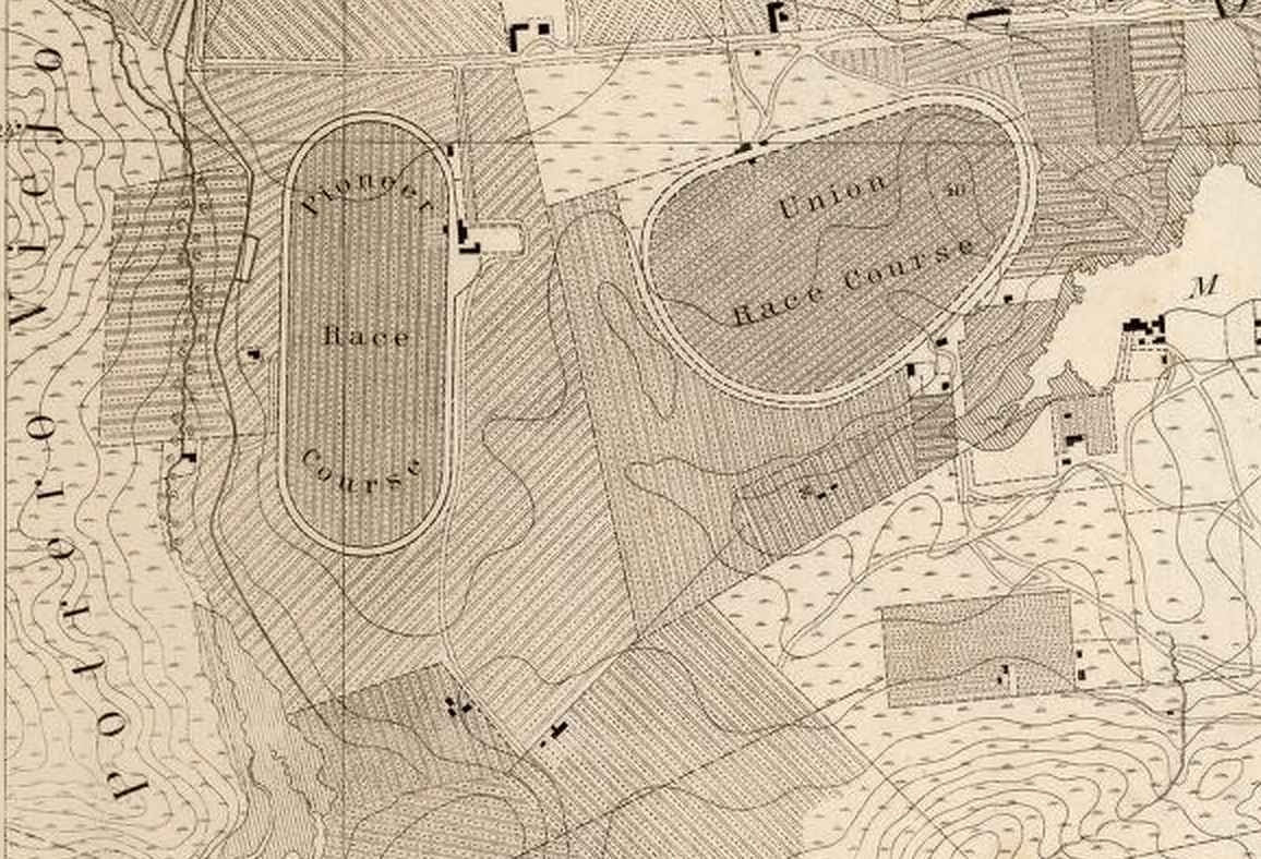
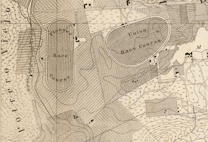
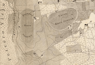
Image: 1857 Map of San Francisco's Mission District showing the race courses
Description: U.S. Coast Survey A.D. Bache, Superintendent. City Of San Francisco And Its Vicinity California. From a plane label survey by A.F. Rogers Sub-assistant. Verified W.R. Palmer Capt. Topl. Engrs. Asst. C.S. In charge of Office. Lith. of J. Bien 60 Fulton St. N.Y. Note that map is oriented with west at the top, instead of north. Complete map available in the David Rumsey Map Collection.
Title: 1857 Map of San Francisco's Mission District showing the race courses
Credit: U.S. Coast Survey: City Of San Francisco & It's Vicinity, California in 1857 showing the Southern Mission District
Author: United States Coast Survey; Rodgers, A.F., U.S. Coast Survey Washington, D.C.
Usage Terms: Public domain
License: Public domain
Attribution Required?: No
Image usage
The following 2 pages link to this image:
