
Image: 1897Map(Chipilo-Zentla)
Size of this preview: 800 × 533 pixels. Other resolutions: 320 × 213 pixels | 3,166 × 2,109 pixels.
Original image (3,166 × 2,109 pixels, file size: 2.2 MB, MIME type: image/jpeg)
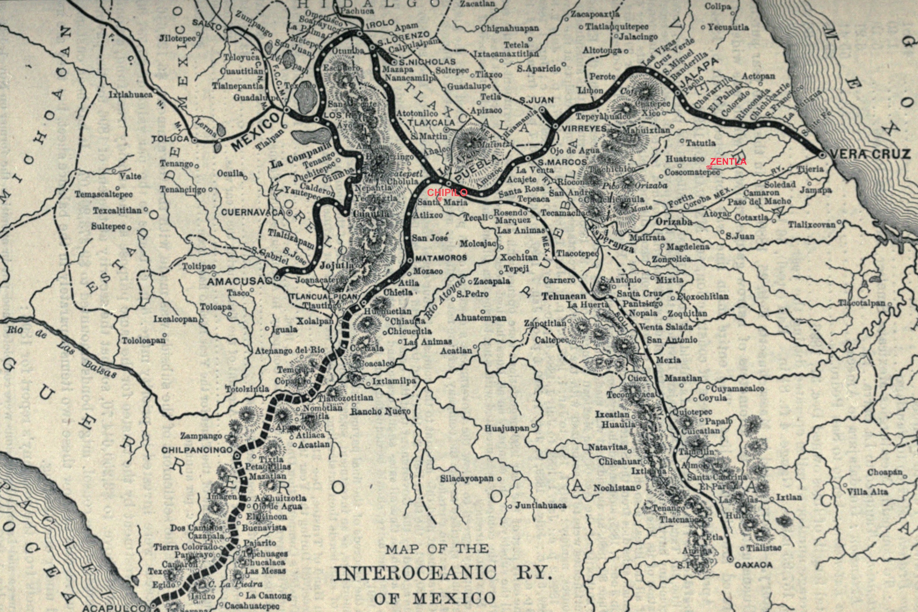
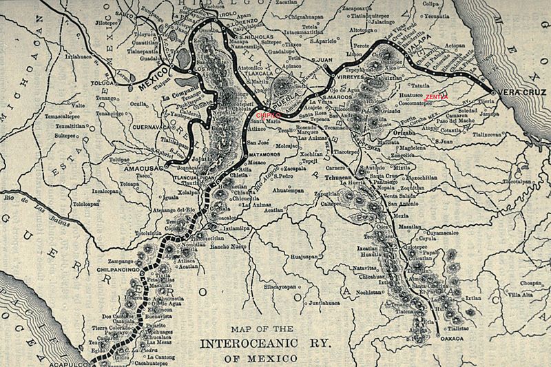
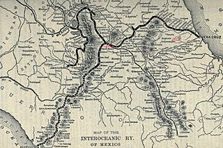
Description: Foto digital de mapa de Mejico central en 1897. Mapa tomada de viejo libro (publicado en 1936) sobre ferrocarril transoceanico mejicano. He modificado el mapa con mi software, agregandole en rojo las ciudades de Chipilo y Zentla (donde hay comunidades descendientes de colonos italianos).
Title: 1897Map(Chipilo-Zentla)
Credit: Own work (originally from , then I have cut the image and added data with my software)
Author: NuevoNMD2
Usage Terms: Creative Commons Attribution-Share Alike 3.0
License: CC BY-SA 3.0
License Link: https://creativecommons.org/licenses/by-sa/3.0
Attribution Required?: Yes
Image usage
The following page links to this image:

All content from Kiddle encyclopedia articles (including the article images and facts) can be freely used under Attribution-ShareAlike license, unless stated otherwise.
.jpg)