
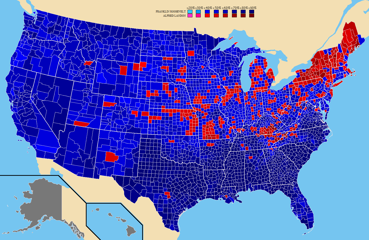
Image: 1936prescountymap2
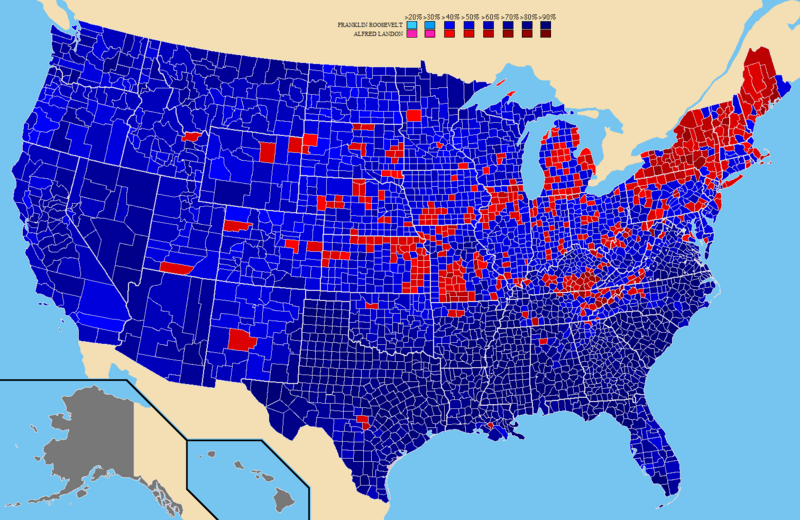
Size of this preview: 800 × 520 pixels. Other resolutions: 320 × 208 pixels | 1,513 × 983 pixels.
Original image (1,513 × 983 pixels, file size: 197 KB, MIME type: image/png)
Description: A map of the counties won by each candidate in the United States presidential election.
Title: 1936prescountymap2
Credit: I created this work entirely by myself.
Author: Tilden76 at English Wikipedia
Usage Terms: Creative Commons Attribution 3.0
License: CC BY 3.0
License Link: https://creativecommons.org/licenses/by/3.0
Attribution Required?: Yes
Image usage
The following page links to this image:

All content from Kiddle encyclopedia articles (including the article images and facts) can be freely used under Attribution-ShareAlike license, unless stated otherwise.