
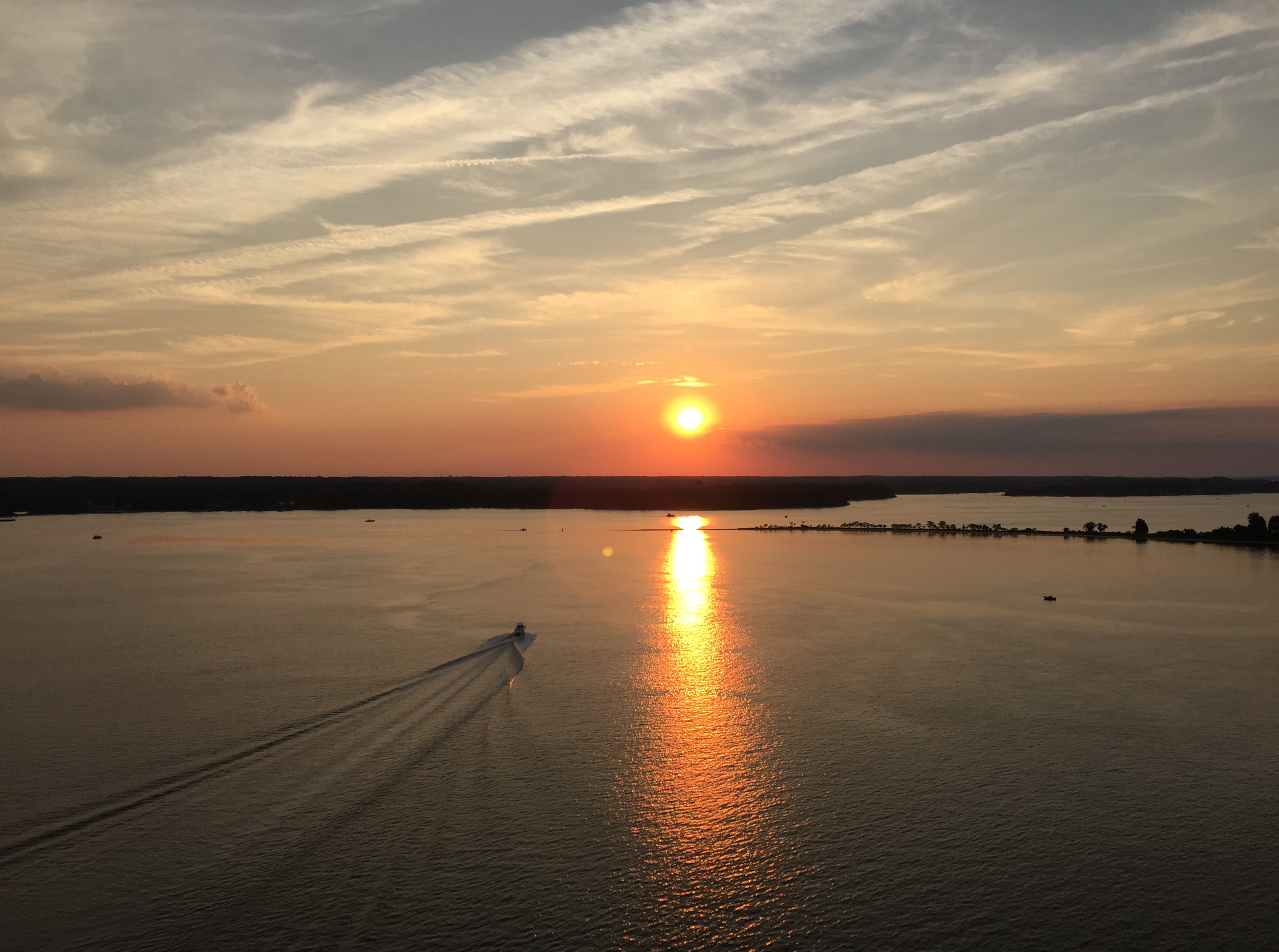
Image: 2016-07-20 20 05 12 View northwest up the Patuxent River from the Governor Thomas Johnson Bridge (Maryland State Route 4) along the border of Solomons, Calvert County, Maryland and California, St. Mary's County, Maryland just before sunset
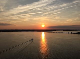
Size of this preview: 800 × 596 pixels. Other resolutions: 320 × 238 pixels | 3,229 × 2,405 pixels.
Original image (3,229 × 2,405 pixels, file size: 3.38 MB, MIME type: image/jpeg)
Description: View northwest up the Patuxent River from the Governor Thomas Johnson Bridge (Maryland State Route 4) along the border of Solomons, Calvert County, Maryland and California, St. Mary's County, Maryland just before sunset
Title: 2016-07-20 20 05 12 View northwest up the Patuxent River from the Governor Thomas Johnson Bridge (Maryland State Route 4) along the border of Solomons, Calvert County, Maryland and California, St. Mary's County, Maryland just before sunset
Credit: Own work
Author: Famartin
Usage Terms: Creative Commons Attribution-Share Alike 4.0
License: CC BY-SA 4.0
License Link: https://creativecommons.org/licenses/by-sa/4.0
Attribution Required?: Yes
Image usage
The following page links to this image:

All content from Kiddle encyclopedia articles (including the article images and facts) can be freely used under Attribution-ShareAlike license, unless stated otherwise.
_along_the_border_of_Solomons,_Calvert_County,_Maryland_and_California,_St._Mary's_County,_Maryland_just_before_sunset.jpg)