
Image: A dip in the headland - geograph.org.uk - 749720
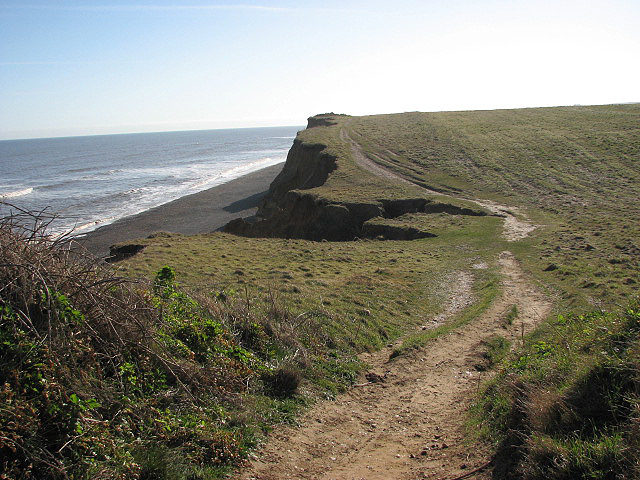
Description: A dip in the headland At their lowest point (seen in mid-distance) the eroded cliffs are only a few metres high and access onto the shingle beach is possible from here. Erosion is evident all along the coastline and the track denoting the Norfolk Coast Path/Peddars Way is slowly falling into the sea; the waves of the North Sea undermine the cliffs and cause large sections to tumble onto the beaches. About 2.5 metres (in some sections up to 5 metres) of headland is lost every year.
Title: A dip in the headland - geograph.org.uk - 749720
Credit: From geograph.org.uk
Author: Evelyn Simak
Usage Terms: Creative Commons Attribution-Share Alike 2.0
License: CC BY-SA 2.0
License Link: https://creativecommons.org/licenses/by-sa/2.0
Attribution Required?: Yes
Image usage
The following page links to this image:
