
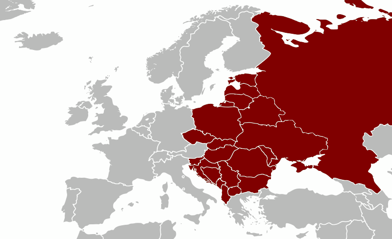
Image: A general map of Eastern Europe
Size of this PNG preview of this SVG file: 800 × 488 pixels. Other resolution: 320 × 195 pixels.
Original image (SVG file, nominally 1,600 × 976 pixels, file size: 237 KB)
Description: A general map of Eastern Europe that includes territories most often associated with this region (considering primarily cultural, linguistic, historical and ethnic boundaries between countries). It can also be further divided up into: East-Central Europe, the Baltic states, European Russia and Southeastern Europe.
Title: A general map of Eastern Europe
Credit: Created using graphics editing software.
Author: Samotny Wędrowiec
Usage Terms: Creative Commons Attribution-Share Alike 3.0
License: CC BY-SA 3.0
License Link: http://creativecommons.org/licenses/by-sa/3.0
Attribution Required?: Yes
Image usage
There are no pages that link to this image.

All content from Kiddle encyclopedia articles (including the article images and facts) can be freely used under Attribution-ShareAlike license, unless stated otherwise.