
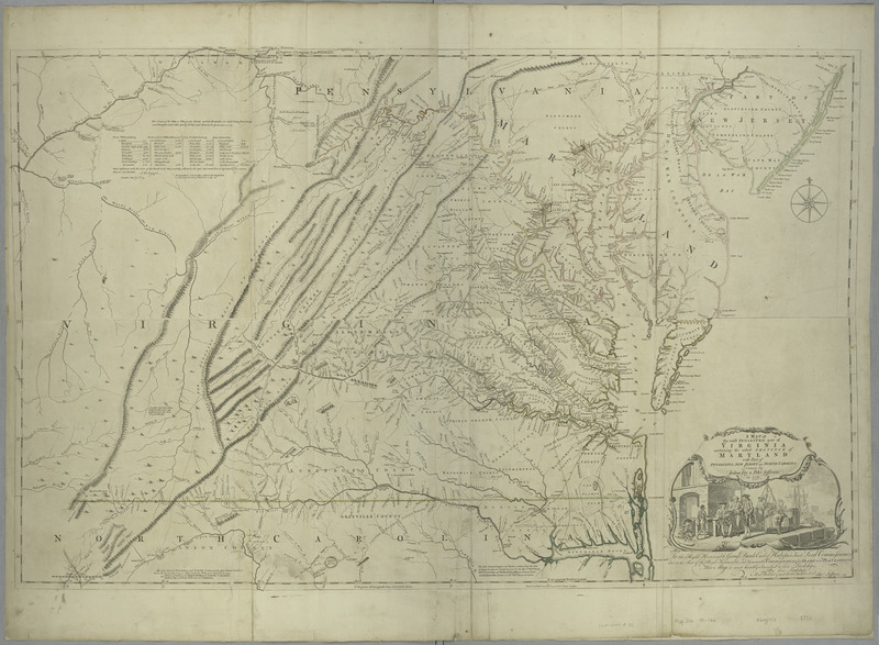
Image: A map of the most inhabited part of Virginia containing the whole province of Maryland - with part of Pensilvania, New Jersey and North Carolina - drawn by Joshua Fry and Peter Jefferson in 1775. NYPL434595f
Description: A map of the most inhabited part of Virginia containing the whole province of Maryland : with part of Pensilvania, New Jersey and North Carolina / drawn by Joshua Fry and Peter Jefferson in 1775.; Maps of North America. / Countries / United States (except New York) / Parts
Title: A map of the most inhabited part of Virginia containing the whole province of Maryland - with part of Pensilvania, New Jersey and North Carolina - drawn by Joshua Fry and Peter Jefferson in 1775. NYPL434595
Credit: New York Public Library
Author: Sayer, Robert, 1725-1794 -- Publisher
Permission: From The Lionel Pincus and Princess Firyal Map Division. http://maps.nypl.org This file is made available under the Creative Commons CC0 1.0 Universal Public Domain Dedication. The person who associated a work with this deed has dedicated the work to the public domain by waiving all of their rights to the work worldwide under copyright law, including all related and neighboring rights, to the extent allowed by law. You can copy, modify, distribute and perform the work, even for commercial purposes, all without asking permission. http://creativecommons.org/publicdomain/zero/1.0/deed.enCC0Creative Commons Zero, Public Domain Dedicationfalsefalse
Usage Terms: Creative Commons Zero, Public Domain Dedication
License: CC0
License Link: http://creativecommons.org/publicdomain/zero/1.0/deed.en
Attribution Required?: No
Image usage
The following page links to this image:
