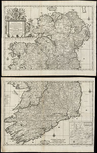
Image: A new map of Ireland according to Sr. W. Petty (but supplied wth. many additions which are not in his survey nor in any other map) divided into its provinces, counties & barronies ... county maps (8643652942)

Description: Zoom into this map at maps.bpl.org. Author: Lea, Philip Publisher: Lea, Philip Date: 1695 Location: Ireland Dimensions: 95 x 61 cm, sheets 52 x 66 cm. Scale: [ca. 1:525,000] Call Number: G1015 .C651 1630
Title: A new map of Ireland according to Sr. W. Petty (but supplied wth. many additions which are not in his survey nor in any other map) divided into its provinces, counties & barronies ... county maps (8643652942)
Credit: A new map of Ireland according to Sr. W. Petty (but supplied wth. many additions which are not in his survey nor in any other map) divided into its provinces, counties & barronies ... county maps Original source https://collections.leventhalmap.org/search/commonwealth:cj82kz301
Author: http://maps.bpl.org
Usage Terms: Public domain
License: Public domain
Attribution Required?: No
Image usage
The following page links to this image:

