
All content from Kiddle encyclopedia articles (including the article images and facts) can be freely used under Attribution-ShareAlike license, unless stated otherwise.
 |
|
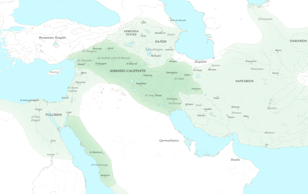
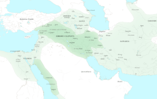
Description: Map of the central Abbasid Caliphate at the beginning of 900 AD. Dark green denotes provinces under the effective control of the central government; light green denotes provinces under the control of autonomous governors. Rebel Muslim groups are noted with italics. The principal sources for this map are al-Tabari, volumes 37 and 38; and Bosworth, pp. 214 ff. Background topography taken from DEMIS Mapserver, which are public domain. This map was created for the article http://en.wikipedia.org/wiki/Kharijite_Rebellion_(866%E2%80%93896). Works Cited: Bosworth, C.E. The History of the Saffarids of Sistan and the Maliks of Nimruz (247/861 to 949/1542-3). Costa Mesa, California: Mazda Publishers, 1994. ISBN 1-56859-015-6 Al-Tabari, Abu Ja'far Muhammad ibn Jarir. The History of al-Tabari. Ed. Ehsan Yar-Shater. 40 vols. Albany, NY: State University of New York Press, 1985-2007.
Title: Abbasid Caliphate 900
Credit: Own work
Author: Ro4444
Usage Terms: Creative Commons Attribution-Share Alike 3.0
License: CC BY-SA 3.0
License Link: https://creativecommons.org/licenses/by-sa/3.0
Attribution Required?: Yes
The following page links to this image: